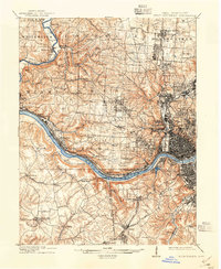
1914 Map of West Cincinnati
USGS Topo · Published 1938About this map
The Ohio River corridor serves as the industrial and transit artery for this region, connecting the urban core of Cincinnati with numerous riverfront settlements like Addyston and Fernbank. Inland, the landscape transitions from the dense street grids of Cumminsville and Clifton to a rural topography dotted with numbered schoolhouses and hilltop institutions. Major landmarks of the era include the University of Cincinnati, the Good Shepherd Convent, and the sprawling Spring Grove Cemetery.
Find a feature on this map
107 named features on this map. Tap any name to fly to it.
Don’t see what you’re looking for? This feature index may not catch every label — zoom into the map to look around manually.
Map Details
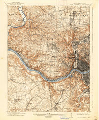
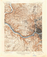
Editions of this 1914 West Cincinnati Map
4 editions found
Other maps of this area

1898 · East Cincinnati
USGS Topo · 1:62,500

1904 · Mason
USGS Topo · 1:62,500

1906 · Mason
USGS Topo · 1:62,500

1914 · East Cincinnati
USGS Topo · 1:62,500

1914 · West Cincinnati
USGS Topo · 1:62,500

1915 · Lawrenceburg
USGS Topo · 1:48,000

1915 · Harrison
USGS Topo · 1:48,000

1915 · Hamilton
USGS Topo · 1:62,500

1917 · Hamilton
USGS Topo · 1:62,500

1928 · Lawrenceburg
USGS Topo · 1:62,500