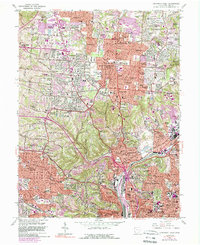
1961 Map of Cincinnati West
USGS Topo · Published 1989About this map
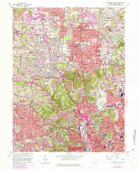
Arlington Memorial Gardens Cemetery and the sprawling Mt Airy Forest anchor the mid-century landscape of western Hamilton County. The terrain transitions from the densely settled neighborhoods of Clifton and Westwood to a post-war suburban fringe defined by numerous "Acres" developments like Galaxy Acres and Chesswood Acres. The industrial and transport corridor of the Mill Creek valley is a central feature, showing the complex network of the Conrail line and new highway interchanges. This period shows a high concentration of institutional landmarks, from the University of Cincinnati and the Zoological Gardens to religious and medical sites such as St Anthony Monastery and Dunham Hospital. The map detail preserves the local social geography of parochial schools like St James Sch and St Catherine Sch that served these growing communities.
Find a feature on this map
121 named features on this map. Tap any name to fly to it.
Don’t see what you’re looking for? This feature index may not catch every label — zoom into the map to look around manually.
Map Details
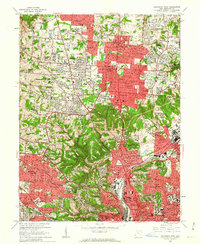
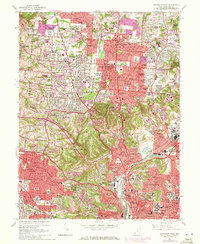
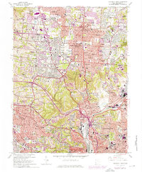
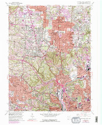
Editions of this 1961 Cincinnati West Map
6 editions found
Other maps of this area

1898 · East Cincinnati
USGS Topo · 1:62,500

1904 · Mason
USGS Topo · 1:62,500

1906 · Mason
USGS Topo · 1:62,500

1914 · East Cincinnati
USGS Topo · 1:62,500

1914 · West Cincinnati
USGS Topo · 1:62,500

1915 · Hamilton
USGS Topo · 1:62,500

1917 · Hamilton
USGS Topo · 1:62,500

1950 · Covington
USGS Topo · 1:24,000

1951 · Burlington
USGS Topo · 1:24,000

1952 · Newport
USGS Topo · 1:24,000