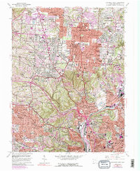
1961 Map of Cincinnati West
USGS Topo · Published 1989About this map
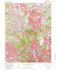
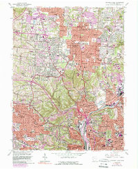
The rolling landscape of Hamilton County west of the city center is defined here by a dense network of suburban expansion and long-standing Catholic institutions. Large parcels of land are dedicated to the Arlington Memorial Gardens Cemetery and the extensive Mt Airy Forest, while the residential character of Mount Healthy and North College Hill shows the maturation of these communities during the mid-century. Significant social infrastructure is visible through numerous parochial landmarks like St Josephs Orphanage, St Anthony Monastery, and Sacred Heart Academy.
Find a feature on this map
167 named features on this map. Tap any name to fly to it.
Don’t see what you’re looking for? This feature index may not catch every label — zoom into the map to look around manually.
Map Details
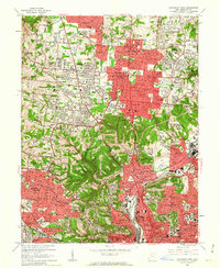
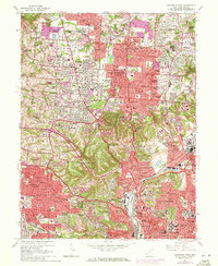
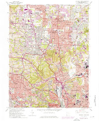
Editions of this 1961 Cincinnati West Map
6 editions found
Other maps of this area

1898 · East Cincinnati
USGS Topo · 1:62,500

1904 · Mason
USGS Topo · 1:62,500

1906 · Mason
USGS Topo · 1:62,500

1914 · East Cincinnati
USGS Topo · 1:62,500

1914 · West Cincinnati
USGS Topo · 1:62,500

1915 · Hamilton
USGS Topo · 1:62,500

1917 · Hamilton
USGS Topo · 1:62,500

1950 · Covington
USGS Topo · 1:24,000

1951 · Burlington
USGS Topo · 1:24,000

1952 · Newport
USGS Topo · 1:24,000