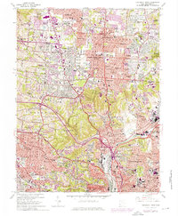
1961 Map of Cincinnati West
USGS Topo · Published 1976About this map
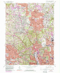
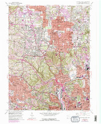
Cincinnati and its western suburbs undergo a period of rapid post-war residential expansion, with many new subdivisions like Marlain Acres and Plantation Acres appearing near the established hillsides. The landscape is defined by the steep winding contours of Mt Airy Forest and the industrial activity focused along the Mill Creek corridor. Infrastructure development is evident in the complex interchanges near Ivorydale Junction and the growth of neighborhoods such as Northbrook and Finneytown.
Find a feature on this map
129 named features on this map. Tap any name to fly to it.
Don’t see what you’re looking for? This feature index may not catch every label — zoom into the map to look around manually.
Map Details
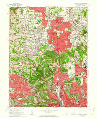
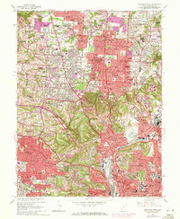
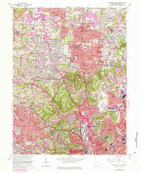
Editions of this 1961 Cincinnati West Map
6 editions found
Other maps of this area

1898 · East Cincinnati
USGS Topo · 1:62,500

1904 · Mason
USGS Topo · 1:62,500

1906 · Mason
USGS Topo · 1:62,500

1914 · East Cincinnati
USGS Topo · 1:62,500

1914 · West Cincinnati
USGS Topo · 1:62,500

1915 · Hamilton
USGS Topo · 1:62,500

1917 · Hamilton
USGS Topo · 1:62,500

1950 · Covington
USGS Topo · 1:24,000

1951 · Burlington
USGS Topo · 1:24,000

1952 · Newport
USGS Topo · 1:24,000