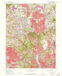
1961 Map of Cincinnati West
USGS Topo · Published 1971About this map
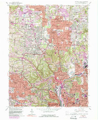
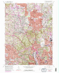
Mt Airy Forest forms a massive green heart at the center of this urbanized landscape, separating the residential expansions of Monfort Heights and White Oak from the industrial corridors to the east. By the early 1960s, the hilltop neighborhoods of Mount Healthy and North College Hill were densely settled, while newer subdivisions like Autumn Acres and Skyline Acres pushed further into the townships of Colerain and Springfield.
Find a feature on this map
132 named features on this map. Tap any name to fly to it.
Don’t see what you’re looking for? This feature index may not catch every label — zoom into the map to look around manually.
Map Details
Editions of this 1961 Cincinnati West Map
6 editions found
Other maps of this area

1898 · East Cincinnati
USGS Topo · 1:62,500

1904 · Mason
USGS Topo · 1:62,500

1906 · Mason
USGS Topo · 1:62,500

1914 · East Cincinnati
USGS Topo · 1:62,500

1914 · West Cincinnati
USGS Topo · 1:62,500

1915 · Hamilton
USGS Topo · 1:62,500

1917 · Hamilton
USGS Topo · 1:62,500

1950 · Covington
USGS Topo · 1:24,000

1951 · Burlington
USGS Topo · 1:24,000

1952 · Newport
USGS Topo · 1:24,000