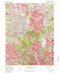
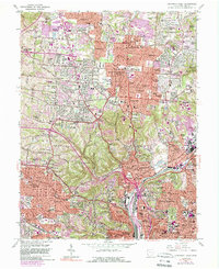
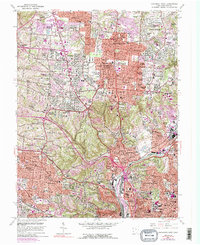
1961 Map of Cincinnati West
USGS Topo · Published 1982About this map
Cincinnati spreads across the hills and valleys of southwestern Ohio in this detailed mid-century survey, updated through the early 1980s. The landscape is defined by the dense residential clusters of North College Hill and College Hill, while the massive green expanse of Mt Airy Forest provides a significant break in the urban fabric. To the east, the industrial corridor along Mill Creek is clearly visible, flanked by the Baltimore and Ohio and Penn Central rail lines.
Find a feature on this map
138 named features on this map. Tap any name to fly to it.
Don’t see what you’re looking for? This feature index may not catch every label — zoom into the map to look around manually.
Map Details
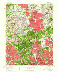
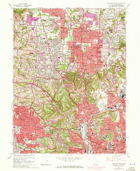
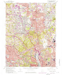
Editions of this 1961 Cincinnati West Map
6 editions found
Other maps of this area

1898 · East Cincinnati
USGS Topo · 1:62,500

1904 · Mason
USGS Topo · 1:62,500

1906 · Mason
USGS Topo · 1:62,500

1914 · East Cincinnati
USGS Topo · 1:62,500

1914 · West Cincinnati
USGS Topo · 1:62,500

1915 · Hamilton
USGS Topo · 1:62,500

1917 · Hamilton
USGS Topo · 1:62,500

1950 · Covington
USGS Topo · 1:24,000

1951 · Burlington
USGS Topo · 1:24,000

1952 · Newport
USGS Topo · 1:24,000