
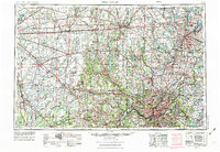
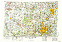
1953 Map of Cincinnati
USGS Topo · Published 1965About this map
The Ohio River corridor serves as the anchor for this mid-century look at the tri-state region, connecting Cincinnati, Covington, and Newport. The landscape is defined by the heavy infrastructure of the era, with the Pennsylvania RR and Baltimore and Ohio RR spidering out toward industrial centers like Dayton, Hamilton, and Middletown. While the urban centers show significant growth, the map also highlights the strategic importance of the surrounding countryside, featuring massive military installations such as Fort Benjamin Harrison, Camp Atterbury, and the Jefferson Proving Ground.
Find a feature on this map
173 named features on this map. Tap any name to fly to it.
Don’t see what you’re looking for? This feature index may not catch every label — zoom into the map to look around manually.
Map Details
Editions of this 1953 Cincinnati Map
3 editions found
Other maps of this area

1898 · East Cincinnati
USGS Topo · 1:62,500

1904 · Springfield
USGS Topo · 1:62,500

1904 · Dayton
USGS Topo · 1:62,500

1904 · Mason
USGS Topo · 1:62,500

1905 · Brookville
USGS Topo · 1:62,500

1906 · Dayton
USGS Topo · 1:62,500

1906 · Mason
USGS Topo · 1:62,500

1906 · Springfield
USGS Topo · 1:62,500

1907 · Blanchester
USGS Topo · 1:62,500

1908 · Miamisburg
USGS Topo · 1:62,500