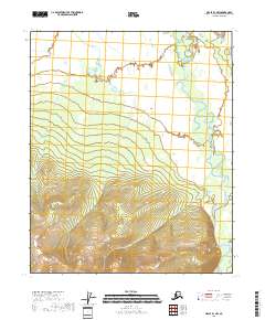
2018 Map of Circle B-1 NW
USGS Topo · Published 2018About this map
Birch Creek winds through this interior Alaskan wilderness, following a highly sinuous path along the eastern edge of the quadrangle. The terrain transitions dramatically from the relatively flat, low-lying northern section to the sharp topographic rises in the south. This transition is clearly defined by the shifting township and range boundaries, from T8n R16e through T7n R16e and into the higher elevations of T6n R16e. The lack of named settlements or roads reflects the remote character of this landscape, where the hydrography of the creek serves as the primary landmark and traditional travel corridor.
Find a feature on this map
7 named features on this map. Tap any name to fly to it.
Don’t see what you’re looking for? This feature index may not catch every label — zoom into the map to look around manually.
Map Details
Editions of this 2018 Circle B-1 NW Map
This is the sole edition of this map. No revisions or reprints were ever made.
Other maps of this area

1951 · Circle
USGS Topo · 1:250,000

1955 · Circle B-1
USGS Topo · 1:63,360

1955 · Circle C-2
USGS Topo · 1:63,360

1955 · Circle B-2
USGS Topo · 1:63,360

1955 · Circle C-1
USGS Topo · 1:63,360

1955 · Circle
USGS Topo · 1:250,000

1964 · Circle
USGS Topo · 1:250,000
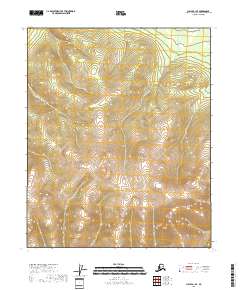
2018 · Circle B-1 SE
USGS Topo · 1:25,000
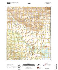
2018 · Circle C-2 SE
USGS Topo · 1:25,000
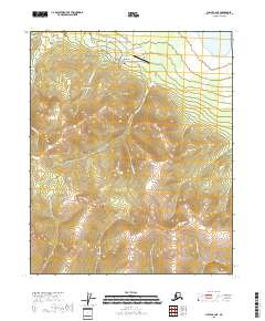
2018 · Circle B-2 NE
USGS Topo · 1:25,000