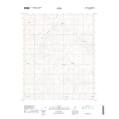
2018 Map of Circle B-2 NW
USGS Topo · Published 2018About this map
Deadwood Creek Road winds through the high-latitude drainage systems of the Yukon-Koyukuk Census Area, tracing the primary access through a landscape defined by industrial gold-rush era nomenclature. The naming conventions of the local waterways, such as Bottom Dollar Cr, Two-bit Cr, and Half Dollar Cr, reflect the prospector history of this interior region. Central to the topography is Discovery Gulch, a site situated north of Nine Pup and west of Switch Cr. To the east, the elevation rises toward Ketchem Dome, which overlooks the headwaters of Ketchem Cr and the Mary Louise Fork. This 2018 survey detail provides a look at the contemporary state of these historic drainages, including Nugget Gulch and Greenhorn Cr, illustrating the persistent footprint of mining claims and access trails in the remote Alaska interior.
Find a feature on this map
31 named features on this map. Tap any name to fly to it.
Don’t see what you’re looking for? This feature index may not catch every label — zoom into the map to look around manually.
Map Details
Editions of this 2018 Circle B-2 NW Map
This is the sole edition of this map. No revisions or reprints were ever made.
Other maps of this area

1951 · Circle
USGS Topo · 1:250,000

1955 · Circle B-3
USGS Topo · 1:63,360

1955 · Circle C-3
USGS Topo · 1:63,360

1955 · Circle C-2
USGS Topo · 1:63,360

1955 · Circle B-2
USGS Topo · 1:63,360

1955 · Circle
USGS Topo · 1:250,000

1964 · Circle
USGS Topo · 1:250,000
2018 · Circle C-2 SE
USGS Topo · 1:25,000
2018 · Circle C-2 SW
USGS Topo · 1:25,000
2018 · Circle B-2 NE
USGS Topo · 1:25,000