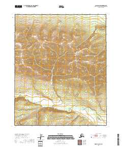
2018 Map of Circle D-4 SW
USGS Topo · Published 2018About this map
The West Crazy Mountains dominate this high-latitude terrain within the Yukon-Koyukuk Census Area, presenting a landscape defined by significant elevation changes and subarctic water systems. The map detail highlights the Crazy Mountains range, where the headwaters of remote drainages begin their descent. Water courses like Discovery Cr and the N Fork Preacher Cr carve through the deep valleys between ridges, illustrating the natural drainage patterns of this unpopulated interior region. This 2018 survey by the U.S. Geological Survey provides an exacting look at the topographic contours of the Alaska interior, showing a wilderness area devoid of permanent human structures or roads, where the only markers are the township and range lines of the Public Land Survey System.
Find a feature on this map
10 named features on this map. Tap any name to fly to it.
Don’t see what you’re looking for? This feature index may not catch every label — zoom into the map to look around manually.
Map Details
Editions of this 2018 Circle D-4 SW Map
This is the sole edition of this map. No revisions or reprints were ever made.
Other maps of this area

1951 · Circle
USGS Topo · 1:250,000

1952 · Circle D-4
USGS Topo · 1:63,360

1952 · Circle C-4
USGS Topo · 1:63,360

1952 · Circle D-5
USGS Topo · 1:63,360

1952 · Circle C-5
USGS Topo · 1:63,360

1954 · Circle C-5
USGS Topo · 1:63,360

1954 · Circle D-5
USGS Topo · 1:63,360

1955 · Circle
USGS Topo · 1:250,000

1964 · Circle
USGS Topo · 1:250,000
2018 · Circle D-4 NE
USGS Topo · 1:25,000