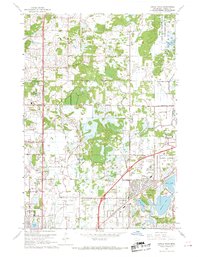
1967 Map of Circle Pines
USGS Topo · Published 1969About this map
Anoka County Airport (Janes Field) serves as a central anchor in this suburban landscape, which was undergoing rapid development in the late 1960s. The burgeoning communities of Blaine, Lexington, and Circle Pines are clearly defined, showing the expansion of residential street grids like 105th Ave NE and Cloud Drive NE into former agricultural lands. This era of growth is marked by the establishment of several institutional landmarks, including Centennial Sch and Good Shepherd Ch.
Find a feature on this map
41 named features on this map. Tap any name to fly to it.
Don’t see what you’re looking for? This feature index may not catch every label — zoom into the map to look around manually.
Map Details
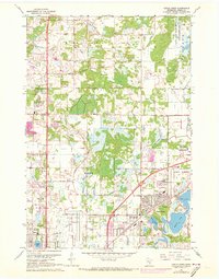
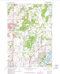
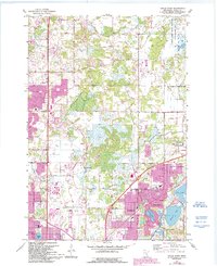
Editions of this 1967 Circle Pines Map
4 editions found
Other maps of this area

1902 · White Bear
USGS Topo · 1:62,500

1902 · Anoka
USGS Topo · 1:62,500

1916 · St. Francis
USGS Topo · 1:62,500

1919 · St. Francis
USGS Topo · 1:62,500

1952 · Centerville
USGS Topo · 1:24,000

1952 · White Bear Lake West
USGS Topo · 1:24,000

1952 · Minneapolis North
USGS Topo · 1:24,000

1952 · New Brighton
USGS Topo · 1:24,000

1953 · Stillwater
USGS Topo · 1:250,000

1955 · Circle Pines
USGS Topo · 1:24,000