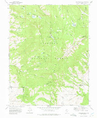
1971 Map of Circleville Mtn
USGS Topo · Published 1975About this map
The high Tushar Mountains dominate this 1970s survey, illustrating a landscape managed for recreation and water resources within the Fish Lake National Forest. The map documents a network of high-altitude reservoirs and lakes, including Anderson Meadow Reservoir, Mumford Reservoir, and the Kents Lake group. Human presence is marked by seasonal outposts and infrastructure like Briggs Camp, Fullmers Cabins, and the Kents Lake Campground.
Find a feature on this map
72 named features on this map. Tap any name to fly to it.
Don’t see what you’re looking for? This feature index may not catch every label — zoom into the map to look around manually.
Map Details
Editions of this 1971 Circleville Mtn Map
2 editions found
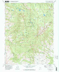
Other maps of this area

1885 · Beaver
USGS Topo · 1:250,000

1937 · Delano Peak
USGS Topo · 1:48,000

1943 · Delano Peak
USGS Topo · 1:62,500

1953 · Richfield
USGS Topo · 1:250,000

1954 · Beaver SE
USGS Topo · 1:24,000

1958 · Richfield
USGS Topo · 1:250,000

1958 · Beaver
USGS Topo · 1:62,500

1966 · Bull Rush Peak
USGS Topo · 1:24,000

1966 · Circleville
USGS Topo · 1:24,000

1966 · Fremont Pass
USGS Topo · 1:24,000