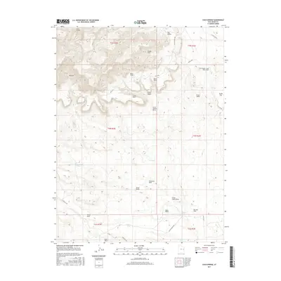
2017 Map of Cisco Springs
USGS Topo · Published 2017About this map
Book Cliffs dominate the northern landscape of this Grand County quadrangle, providing a sharp topographic rise above the southern flats of Grand Valley. This high-desert terrain is defined by a complex drainage system, including the prominent Cisco Wash and Strychnine Wash, which carve through the land alongside features like Death Valley and Big Hole Wash. Historically significant water sources, often critical for livestock and travelers in this arid region, are marked throughout the area, including the namesake Cisco Springs and several local reservoirs such as Tie Pond and Holding Pond.
Find a feature on this map
38 named features on this map. Tap any name to fly to it.
Don’t see what you’re looking for? This feature index may not catch every label — zoom into the map to look around manually.
Map Details
Editions of this 2017 Cisco Springs Map
This is the sole edition of this map. No revisions or reprints were ever made.
Other maps of this area

1885 · East Tavaputs
USGS Topo · 1:250,000

1885 · La Sal
USGS Topo · 1:250,000

1956 · Moab
USGS Topo · 1:250,000

1956 · Grand Junction
USGS Topo · 1:250,000

1958 · Thompson
USGS Topo · 1:62,500

1958 · Cisco
USGS Topo · 1:62,500

1959 · Grand Junction
USGS Topo · 1:250,000

1959 · Moab
USGS Topo · 1:250,000

1960 · Moab
USGS Topo · 1:250,000

1960 · Grand Junction
USGS Topo · 1:250,000