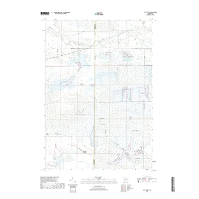
2018 Map of City Point
USGS Topo · Published 2018About this map
Martyrs Cem and City Point Cem sit near the northern edge of this landscape, marking the small community hub where Jackson and Wood counties meet. The area is defined by a complex water management system of drainage canals, including Bissig Ditch, Weisner Ditch, and Remington Ditch, which navigate the low-lying wetlands. These ditches reveal a history of land reclamation and agriculture, likely cranberry cultivation given the presence of Cranberry Rd.
Find a feature on this map
34 named features on this map. Tap any name to fly to it.
Don’t see what you’re looking for? This feature index may not catch every label — zoom into the map to look around manually.
Map Details
Editions of this 2018 City Point Map
This is the sole edition of this map. No revisions or reprints were ever made.
Other maps of this area

1953 · Eau Claire
USGS Topo · 1:250,000

1957 · Pittsville
USGS Topo · 1:48,000

1957 · City Point
USGS Topo · 1:48,000

1958 · Eau Claire
USGS Topo · 1:250,000

1958 · Necedah
USGS Topo · 1:48,000

1958 · Wyeville
USGS Topo · 1:48,000

1964 · Eau Claire
USGS Topo · 1:250,000

1967 · Pittsville
USGS Topo · 1:62,500
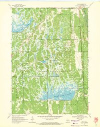
1969 · Finley
USGS Topo · 1:24,000

1970 · City Point NE
USGS Topo · 1:24,000