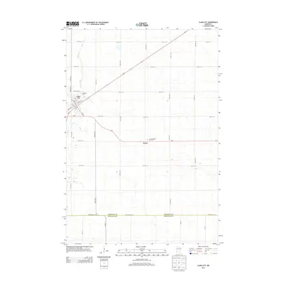
2013 Map of Clara City
USGS Topo · Published 2013About this map
Clara City serves as the central hub of this agricultural landscape in Western Minnesota, situated where Mn-23 and Mn-7 converge. The town's grid is oriented diagonally along the rail corridor, featuring a centralized Po and commercial district along Main St S and Center Ave E. The surrounding territory is defined by the rigid mile-block section lines of the Public Land Survey System, with gravel roads like 130th Ave SE and 40th St SE creating a precise geometric patchwork of farmland.
Find a feature on this map
36 named features on this map. Tap any name to fly to it.
Don’t see what you’re looking for? This feature index may not catch every label — zoom into the map to look around manually.
Map Details
Editions of this 2013 Clara City Map
This is the sole edition of this map. No revisions or reprints were ever made.
Other maps of this area

1953 · New Ulm
USGS Topo · 1:250,000

1953 · Saint Cloud
USGS Topo · 1:250,000

1957 · Saint Cloud
USGS Topo · 1:250,000

1957 · New Ulm
USGS Topo · 1:250,000

1958 · New Ulm
USGS Topo · 1:250,000

1958 · Saint Cloud
USGS Topo · 1:250,000

1958 · Kerkhoven SE
USGS Topo · 1:24,000

1958 · Kerkhoven SW
USGS Topo · 1:24,000

1958 · Raymond
USGS Topo · 1:24,000
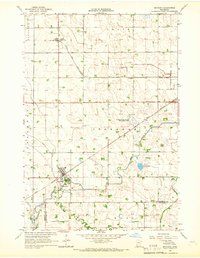
1965 · Maynard
USGS Topo · 1:24,000