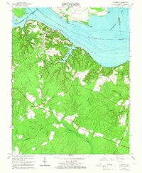
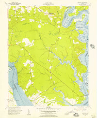
1966 Map of Claremont
USGS Topo · Published 1966About this map
Claremont sits at a prominent bend in the James River, where the convergence of several county boundaries meets the waterway. This 1966 survey documents the river-oriented landscape of Surry and Prince George counties, characterized by tidal flats and expansive wetlands like Spring Grove Swamp and Cypress Swamp. The interior terrain is defined by a network of drainage systems including Sunken Meadow Creek and Grays Creek, which carved deep valleys into the coastal plain.
Find a feature on this map
37 named features on this map. Tap any name to fly to it.
Don’t see what you’re looking for? This feature index may not catch every label — zoom into the map to look around manually.
Map Details
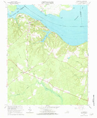
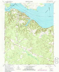
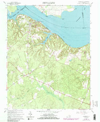
Editions of this 1966 Claremont Map
4 editions found
Other maps of this area

1917 · Toano
USGS Topo · 1:62,500

1918 · Charles City
USGS Topo · 1:62,500

1918 · Toano
USGS Topo · 1:62,500

1919 · Surry
USGS Topo · 1:62,500

1919 · Disputanta
USGS Topo · 1:62,500

1943 · Savedge
USGS Topo · 1:31,680

1943 · Richmond
USGS Topo · 1:250,000

1944 · Waverly
USGS Topo · 1:31,680

1949 · Richmond
USGS Topo · 1:250,000
1952 · Brandon
USGS Topo · 1:24,000