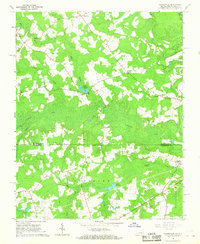
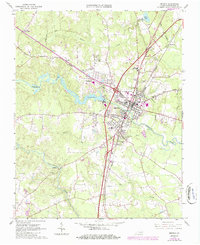
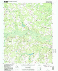
1966 Map of Claresville
USGS Topo · Published 1968This historical map portrays the area of Claresville in 1966, primarily covering Greensville County as well as portions of North Carolina. Featuring a scale of 1:24000, this map provides a highly detailed snapshot of the terrain, roads, buildings, counties, and historical landmarks in the Claresville region at the time. Published in 1968, it is one of 3 known editions of this map due to revisions or reprints.
Find a feature on this map
20 named features on this map. Tap any name to fly to it.
Don’t see what you’re looking for? This feature index may not catch every label — zoom into the map to look around manually.
Map Details
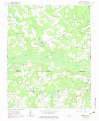
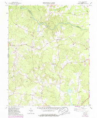
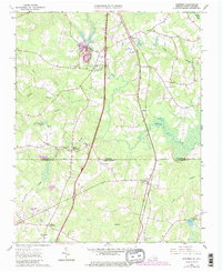
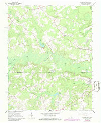
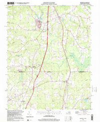
Editions of this 1966 Claresville Map
3 editions found
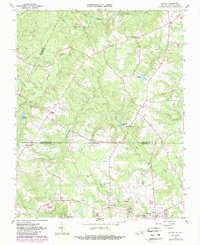
Historical Maps of Northampton County Through Time
9 maps found
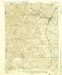
1919 Emporia
Greensville County, VA

1942 Emporia
Greensville County, VA
1963 Barley
Greensville County, VA
1963 Emporia
Greensville County, VA
1963 Purdy
Greensville County, VA
1963 Skippers
Greensville County, VA
1966 Claresville
Greensville County, VA
1997 Claresville
Greensville County, VA
1997 Skippers
Greensville County, VA