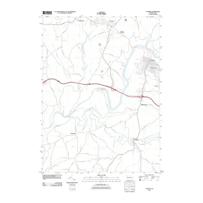
2010 Map of Clarion
USGS Topo · Published 2010About this map
The Clarion River snakes through the heart of this Pennsylvania landscape, serving as a primary geographic anchor for the borough of Clarion and its surrounding communities. The presence of the Clarion University of Pennsylvania defines the northeastern portion of the map, while the Clarion County Airport and Groce Hill overlook the river valley from the west. Engineering is evident at Piney Dam, which alters the river's flow near the junction of several rural routes.
Find a feature on this map
65 named features on this map. Tap any name to fly to it.
Don’t see what you’re looking for? This feature index may not catch every label — zoom into the map to look around manually.
Map Details
Editions of this 2010 Clarion Map
This is the sole edition of this map. No revisions or reprints were ever made.
Other maps of this area

1906 · Clarion
USGS Topo · 1:62,500

1907 · Clarion
USGS Topo · 1:62,500

1907 · Foxburg
USGS Topo · 1:62,500

1908 · Foxburg
USGS Topo · 1:62,500

1922 · Oil City
USGS Topo · 1:48,000

1922 · Tionesta
USGS Topo · 1:62,500

1924 · Oil City
USGS Topo · 1:62,500

1924 · Tionesta
USGS Topo · 1:62,500

1943 · Oil City
USGS Topo · 1:62,500

1946 · Tionesta
USGS Topo · 1:62,500