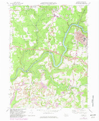
1969 Map of Clarion
USGS Topo · Published 1982About this map
Clarion State College anchors the northeastern portion of this survey, serving as a hub for the borough of Clarion at a time of significant transition. The landscape reflects an economy balanced between institutional growth and extractive industry, with numerous Strip Mines and gas wells peppered across the surrounding townships of Beaver and Piney. The Clarion River winds through the center of the map, flanked by steep slopes and extensive conservation areas like State Game Lands No 63.
Find a feature on this map
52 named features on this map. Tap any name to fly to it.
Don’t see what you’re looking for? This feature index may not catch every label — zoom into the map to look around manually.
Map Details
Editions of this 1969 Clarion Map
2 editions found
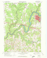
Other maps of this area

1906 · Clarion
USGS Topo · 1:62,500

1907 · Clarion
USGS Topo · 1:62,500

1907 · Foxburg
USGS Topo · 1:62,500

1908 · Foxburg
USGS Topo · 1:62,500

1922 · Oil City
USGS Topo · 1:48,000

1922 · Tionesta
USGS Topo · 1:62,500

1924 · Oil City
USGS Topo · 1:62,500

1924 · Tionesta
USGS Topo · 1:62,500

1943 · Oil City
USGS Topo · 1:62,500

1946 · Tionesta
USGS Topo · 1:62,500