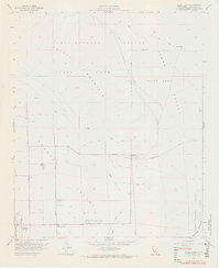
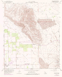
1959 Map of Clark Lake
USGS Topo · Published 1966About this map
Anza-Borrego Desert State Park dominates this late-1950s landscape, where the shifting sands of the Borrego Badlands meet the emerging development of Borrego Springs. The map documents a desert community in transition, anchored by the Borrego Valley Airport and the Borrego School. Water remains the critical factor for survival and growth, evidenced by the numerous marked wells such as Clark Well and the vital drainage of Coyote Creek.
Find a feature on this map
30 named features on this map. Tap any name to fly to it.
Don’t see what you’re looking for? This feature index may not catch every label — zoom into the map to look around manually.
Map Details
Editions of this 1959 Clark Lake Map
5 editions found
Other maps of this area

1904 · Indio
USGS Topo · 1:125,000

1931 · Vallecito
USGS Topo · 1:125,000

1939 · Borrego
USGS Topo · 1:62,500

1941 · Clark Lake
USGS Topo · 1:62,500

1942 · Barrel Spring
USGS Topo · 1:62,500

1942 · Agua Dulce
USGS Topo · 1:62,500

1942 · Clark Lake
USGS Topo · 1:62,500

1942 · Borego
USGS Topo · 1:62,500

1943 · Vallecito
USGS Topo · 1:125,000

1944 · Agua Dulce
USGS Topo · 1:62,500