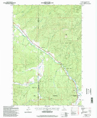
1995 Map of Clarkia
USGS Topo · Published 1997About this map
Clarkia serves as a small anchor for this region of the Idaho Panhandle, situated along the St Maries River where Shoshone, Benewah, and Latah counties meet. The landscape is defined by the legacy of resource extraction, with numerous instances of dredge tailings scattered along Emerald Creek and the river valley, alongside a local Gravel Pit. These industrial scars contrast with the surrounding St Joe National Forest, which covers high points like West Elk Peak and East Elk Peak. The transit corridor follows the river's winding path, passing through minor points such as Jims Spur and tracing the narrow valley floor below Clarkia Peak. This map records the late-twentieth-century balance between active forestry and mining operations and the preservation of the Idaho backcountry.
Find a feature on this map
34 named features on this map. Tap any name to fly to it.
Don’t see what you’re looking for? This feature index may not catch every label — zoom into the map to look around manually.
Map Details
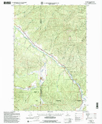
Editions of this 1995 Clarkia Map
2 editions found
Other maps of this area

1955 · Pullman
USGS Topo · 1:250,000

1955 · Spokane
USGS Topo · 1:250,000

1958 · Spokane
USGS Topo · 1:250,000

1958 · Pullman
USGS Topo · 1:250,000

1961 · Fernwood
USGS Topo · 1:62,500

1961 · Bovill
USGS Topo · 1:62,500

1969 · Anthony Peak
USGS Topo · 1:24,000
1969 · Merry Creek
USGS Topo · 1:24,000

1969 · Huckleberry Mtn
USGS Topo · 1:24,000

1981 · St Maries
USGS Topo · 1:100,000