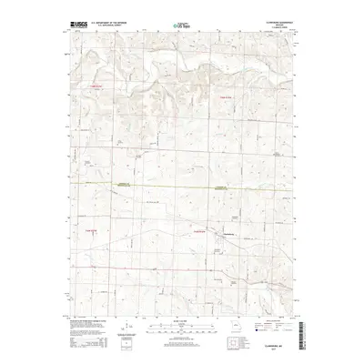
2015 Map of Clarksburg
USGS Topo · Published 2015About this map
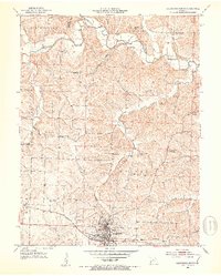
Clarksburg serves as the central hub of this Missouri landscape, situated near the boundary where Cooper Co meets Moniteau County. The settlement is defined by a grid of streets including W Elm St and N Locust St, surrounded by a dense network of family-named rural roads such as Lachner Farm Dr, Renshaw Dr, and Alexander Rd. The area's genealogical depth is evident in the numerous burial grounds scattered across the countryside, from the Sappington Cemetery and Mount Pleasant Cemetery to the smaller Smiley Cemetery and Renshaw Cemetery.
Find a feature on this map
70 named features on this map. Tap any name to fly to it.
Don’t see what you’re looking for? This feature index may not catch every label — zoom into the map to look around manually.
Map Details
Editions of this 2015 Clarksburg Map
This is the sole edition of this map. No revisions or reprints were ever made.
Other maps of this area

1888 · Boonville
USGS Topo · 1:125,000

1947 · Jefferson City
USGS Topo · 1:250,000

1951 · California South
USGS Topo · 1:24,000

1951 · Latham
USGS Topo · 1:24,000

1952 · Tipton
USGS Topo · 1:24,000
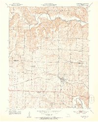
1952 · Clarksburg
USGS Topo · 1:24,000
1952 · Fortuna
USGS Topo · 1:24,000
1952 · Prairie Home
USGS Topo · 1:24,000
1952 · California North
USGS Topo · 1:24,000

1952 · Lone Elm
USGS Topo · 1:24,000