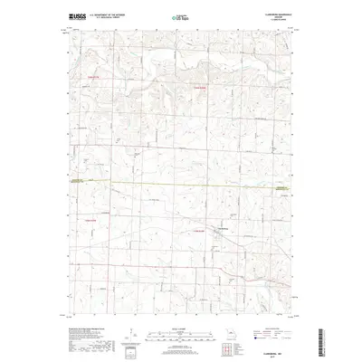
2017 Map of Clarksburg
USGS Topo · Published 2017About this map
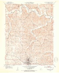
Clarksburg serves as the primary settlement on this central Missouri landscape, situated near the boundary where Cooper and Moniteau counties meet. The area is defined by a dense network of drainage systems, including the winding Moniteau Creek to the north and North Moreau Creek to the southeast. For genealogists, the map is particularly valuable for its documentation of numerous family-named burial sites such as Sappington Cem, Smiley Cem, and Williams Cem, which are scattered throughout the rural sections and along historical routes like Old Twelve Hwy. The terrain is characterized by dissected uplands where small tributaries like W Brush Cr and Dry Fork have carved the local topography. This modern survey reflects the enduring rural character of the region, documenting both legacy property access via roads like Dicks Mill Dr and the persistent importance of local landmarks such as Mount Pleasant Cem.
Find a feature on this map
83 named features on this map. Tap any name to fly to it.
Don’t see what you’re looking for? This feature index may not catch every label — zoom into the map to look around manually.
Map Details
Editions of this 2017 Clarksburg Map
This is the sole edition of this map. No revisions or reprints were ever made.
Other maps of this area

1888 · Boonville
USGS Topo · 1:125,000

1947 · Jefferson City
USGS Topo · 1:250,000

1951 · California South
USGS Topo · 1:24,000

1951 · Latham
USGS Topo · 1:24,000

1952 · Tipton
USGS Topo · 1:24,000
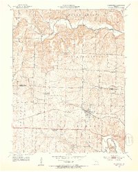
1952 · Clarksburg
USGS Topo · 1:24,000
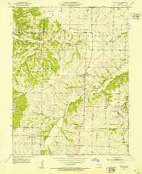
1952 · Fortuna
USGS Topo · 1:24,000
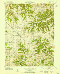
1952 · Prairie Home
USGS Topo · 1:24,000
1952 · California North
USGS Topo · 1:24,000

1952 · Lone Elm
USGS Topo · 1:24,000