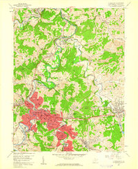
1958 Map of Clarksburg
USGS Topo · Published 1960About this map
Clarksburg anchors this mid-century portrait of Harrison County, where the West Fork River winds through a landscape defined by industry and local transit. The city's post-war infrastructure is clearly visible, featuring landmarks like the V A Hospital, the Athletic Field, and the Radio and TV Station (WBOY). Surrounding the urban center, a network of coal-mining operations and railroads, including the Baltimore and Ohio, connects peripheral settlements such as Lumberport, Nutter Fort, and Anmoore.
Find a feature on this map
98 named features on this map. Tap any name to fly to it.
Don’t see what you’re looking for? This feature index may not catch every label — zoom into the map to look around manually.
Map Details
Editions of this 1958 Clarksburg Map
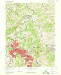
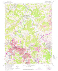
3 editions found
Other maps of this area

1902 · Clarksburg
USGS Topo · 1:62,500

1902 · Fairmont
USGS Topo · 1:62,500

1904 · Philippi
USGS Topo · 1:62,500

1904 · Weston
USGS Topo · 1:62,500

1910 · Clarksburg
USGS Topo · 1:62,500

1923 · Fairmont
USGS Topo · 1:62,500

1923 · Clarksburg
USGS Topo · 1:62,500

1925 · Clarksburg
USGS Topo · 1:62,500

1925 · Philippi
USGS Topo · 1:62,500

1926 · Fairmont
USGS Topo · 1:62,500