
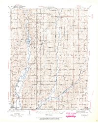
1923 Map of Clarksdale
USGS Topo · Published 1963About this map
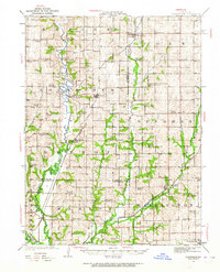
The Platte River and its multiple forks define this rural landscape in Northwest Missouri, where agricultural life followed the winding waterways and the iron paths of the steam railroads. In the 1920s, this region was a dense network of one-room schoolhouses and country churches, serving small agricultural hubs like Union Star and Clarksdale. The presence of specialized infrastructure like the Wire Bridge and Van Meter Bridge across the Third Fork Platte River highlights the early challenges of crossing these seasonally fluctuating prairies.
Find a feature on this map
77 named features on this map. Tap any name to fly to it.
Don’t see what you’re looking for? This feature index may not catch every label — zoom into the map to look around manually.
Map Details
Editions of this 1923 Clarksdale Map
3 editions found
Other maps of this area

1923 · Maysville
USGS Topo · 1:62,500

1924 · St. Joseph
USGS Topo · 1:62,500

1925 · Gower
USGS Topo · 1:62,500

1925 · Clarksdale
USGS Topo · 1:62,500

1925 · Plattsburg
USGS Topo · 1:62,500

1925 · Stanberry
USGS Topo · 1:62,500

1925 · Maysville
USGS Topo · 1:62,500

1925 · Darlington
USGS Topo · 1:62,500

1926 · Saint Joseph
USGS Topo · 1:62,500

1927 · Dearborn
USGS Topo · 1:62,500