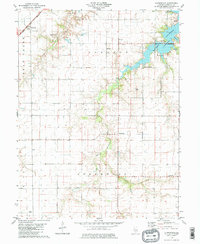
1979 Map of Clarksdale
USGS Topo · Published 1980About this map
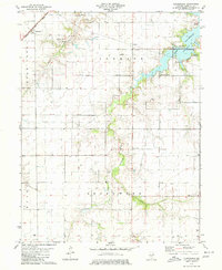
Lake Taylorville dominates the northeastern landscape of this Christian County survey, serving as a focal point for recreation at Lake Shore Golf Club and various Picnic Areas. The terrain transitions from the water's edge into the agricultural heartland of central Illinois, where the South Fork Sangamon River and Bear Creek carve through the prairie. Industrial and transport infrastructure is represented by the Norfolk and Western railroad corridor passing through the settlement of Clarksdale in the northwest. Local history is deeply embedded in the rural plots, marked by numerous small gathering places and resting sites such as Providence Ch, Fairview Ch, and the Anderson Cem. The map provides a clear picture of township organization across Johnson, Greenwood, and Rick S, illustrating the intersection of natural drainage systems like Cotton Creek with established human landmarks like the local Townhall and several Radio Towers.
Find a feature on this map
28 named features on this map. Tap any name to fly to it.
Don’t see what you’re looking for? This feature index may not catch every label — zoom into the map to look around manually.
Map Details
Editions of this 1979 Clarksdale Map
2 editions found
Other maps of this area

1923 · Taylorville
USGS Topo · 1:62,500

1925 · Taylorville
USGS Topo · 1:62,500

1946 · Nokomis
USGS Topo · 1:62,500

1947 · Pana
USGS Topo · 1:62,500

1949 · Nokomis
USGS Topo · 1:62,500

1949 · Pana
USGS Topo · 1:62,500

1952 · Assumption
USGS Topo · 1:62,500

1958 · Decatur
USGS Topo · 1:250,000

1961 · Decatur
USGS Topo · 1:250,000

1974 · Willeys
USGS Topo · 1:24,000