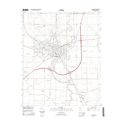
2015 Map of Clarksdale
USGS Topo · Published 2015About this map
Clarksdale sits as the central hub of this Coahoma County landscape, defined by the winding course of the Big Sunflower River. The river’s meanders shape the surrounding agricultural fields and the placement of nearby communities like Lyon, Riverton, and Myrtle Hall. This 2015 U.S. Geological Survey representation reveals a high concentration of small family and community burial grounds, including Saint James Cem, Beth Israel Cem, and Shufordsville Cem, which are often the primary remaining indicators of earlier settlement patterns in the Mississippi Delta.
Find a feature on this map
103 named features on this map. Tap any name to fly to it.
Don’t see what you’re looking for? This feature index may not catch every label — zoom into the map to look around manually.
Map Details
Editions of this 2015 Clarksdale Map
This is the sole edition of this map. No revisions or reprints were ever made.
Other maps of this area
1908 · Coahoma
USGS Topo · 1:24,000
1908 · Jonestown
USGS Topo · 1:24,000
1910 · Coahoma
USGS Topo · 1:31,680
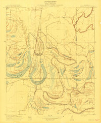
1910 · Jonestown
USGS Topo · 1:31,680
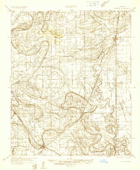
1932 · Tutwiler
USGS Topo · 1:48,000
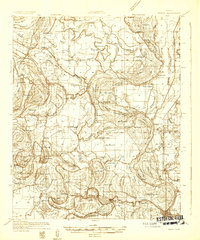
1932 · Marks
USGS Topo · 1:48,000
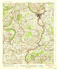
1935 · Clarksdale
USGS Topo · 1:62,500
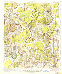
1935 · Marks
USGS Topo · 1:62,500
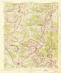
1935 · Tutwiler
USGS Topo · 1:62,500
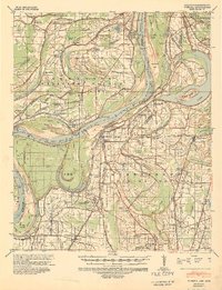
1939 · Farrell
USGS Topo · 1:62,500