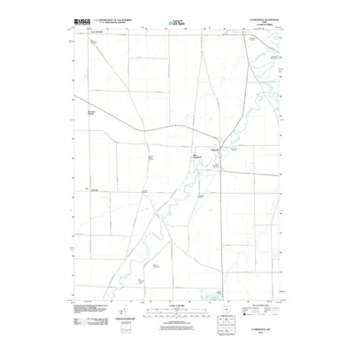
2010 Map of Clarksfield
USGS Topo · Published 2010About this map
The Vermilion River meanders through this agricultural landscape, anchoring the settlements of Clarksfield, West Clarksfield, and Hartland. This region of Huron County is characterized by a dense network of country roads such as Townsend Angling Rd and Fitchville River Rd, which connect small hamlets and family-run operations like Butts Farms. The distribution of cemeteries across the township, including East Townsend Cemetery and South Clarksfield Cemetery, provides a clear map of early settlement patterns and family lineages in this corner of Ohio.
Find a feature on this map
47 named features on this map. Tap any name to fly to it.
Don’t see what you’re looking for? This feature index may not catch every label — zoom into the map to look around manually.
Map Details
Editions of this 2010 Clarksfield Map
This is the sole edition of this map. No revisions or reprints were ever made.
Other maps of this area

1903 · Vermilion
USGS Topo · 1:62,500

1904 · Sandusky
USGS Topo · 1:62,500

1908 · New London
USGS Topo · 1:62,500

1915 · Norwalk
USGS Topo · 1:62,500

1944 · Norwalk
USGS Topo · 1:62,500

1956 · Toledo
USGS Topo · 1:250,000

1959 · Milan
USGS Topo · 1:24,000

1959 · Berlin Heights
USGS Topo · 1:24,000

1959 · Kipton
USGS Topo · 1:24,000

1960 · New London
USGS Topo · 1:24,000