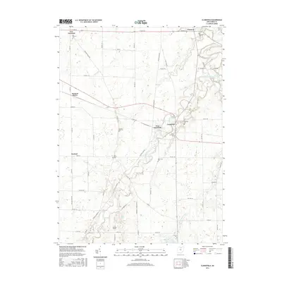
2016 Map of Clarksfield
USGS Topo · Published 2016About this map
The Vermilion River carves a winding path through this portion of Huron County, anchoring a landscape defined by small rural hubs and agricultural intersections. Settlements such as Clarksfield, East Townsend, and Hartland are connected by a dense grid of county and township roads, including the prominent US Rte 20 corridor at the northern edge. The area is notable for its high concentration of local burial grounds, which offer significant genealogical value, from the centrally located South Clarksfield Cem and Methodist Cem to the outlying Five Points Cem and Barrett Cem.
Find a feature on this map
55 named features on this map. Tap any name to fly to it.
Don’t see what you’re looking for? This feature index may not catch every label — zoom into the map to look around manually.
Map Details
Editions of this 2016 Clarksfield Map
This is the sole edition of this map. No revisions or reprints were ever made.
Other maps of this area

1903 · Vermilion
USGS Topo · 1:62,500

1904 · Sandusky
USGS Topo · 1:62,500

1908 · New London
USGS Topo · 1:62,500

1915 · Norwalk
USGS Topo · 1:62,500

1944 · Norwalk
USGS Topo · 1:62,500

1956 · Toledo
USGS Topo · 1:250,000

1959 · Milan
USGS Topo · 1:24,000

1959 · Berlin Heights
USGS Topo · 1:24,000

1959 · Kipton
USGS Topo · 1:24,000

1960 · New London
USGS Topo · 1:24,000