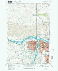
1971 Map of Clarkston
USGS Topo · Published 1986About this map
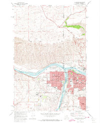
The confluence of the Snake River and Clearwater River serves as the focal point for this 1971 study, where the border towns of Clarkston, Washington, and Lewiston, Idaho, face each other across the state line. This era captures the region's established role as a commercial and academic hub, featuring the campus of Lewis-Clark State College and the specialized grounds of the North Idaho Childrens Home. The landscape is deeply tied to transportation and agriculture, evidenced by the presence of the Asotin County Airport and various industrial facilities like the Pumping Station and several gravel pits.
Find a feature on this map
60 named features on this map. Tap any name to fly to it.
Don’t see what you’re looking for? This feature index may not catch every label — zoom into the map to look around manually.
Map Details
Editions of this 1971 Clarkston Map
2 editions found
Other maps of this area

1910 · Pullman
USGS Topo · 1:125,000

1945 · Clarkston
USGS Topo · 1:62,500

1948 · Clarkston
USGS Topo · 1:62,500

1955 · Pullman
USGS Topo · 1:250,000

1958 · Pullman
USGS Topo · 1:250,000

1958 · Lewiston Orchards North
USGS Topo · 1:24,000

1958 · Lewiston Orchards South
USGS Topo · 1:24,000

1958 · Lewiston Orchards
USGS Topo · 1:62,500

1961 · Moscow
USGS Topo · 1:62,500

1964 · Colton
USGS Topo · 1:24,000