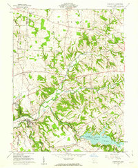
1960 Map of Clarksville
USGS Topo · Published 1962About this map
Cowan State Park and the expansive Cowan Lake dominate the southeastern landscape of this Clinton County region, where the Spillway Elevation 960 and a Gaging Station mark the controlled waters of Cowan Creek. The village of Clarksville serves as a local hub near the confluence of Todd Fork and Sewell Run, situated along the Pennsylvania railroad line. The map reveals a deeply rooted rural community, evidenced by numerous family and community landmarks such as Villars Chapel, Jonahs Run Ch, and the Township Sch.
Find a feature on this map
66 named features on this map. Tap any name to fly to it.
Don’t see what you’re looking for? This feature index may not catch every label — zoom into the map to look around manually.
Map Details
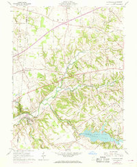
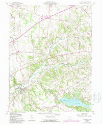
Editions of this 1960 Clarksville Map
Other maps of this area

1907 · Blanchester
USGS Topo · 1:62,500

1913 · Waynesville
USGS Topo · 1:62,500

1914 · Morrow
USGS Topo · 1:62,500

1915 · Waynesville
USGS Topo · 1:62,500

1916 · Morrow
USGS Topo · 1:62,500

1917 · Xenia
USGS Topo · 1:62,500

1947 · Columbus
USGS Topo · 1:250,000

1953 · Cincinnati
USGS Topo · 1:250,000

1955 · New Burlington
USGS Topo · 1:24,000
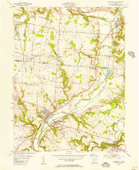
1955 · Waynesville
USGS Topo · 1:24,000