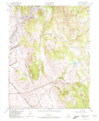
1953 Map of Clarksville
USGS Topo · Published 1972About this map
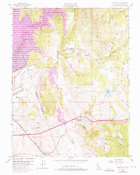
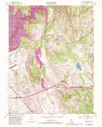
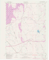
Clarksville and the surrounding foothill landscape of El Dorado and Sacramento counties are documented here just as the regional geography was undergoing a massive transformation. The map highlights the impending arrival of Folsom Lake, with blue hatching indicating large swaths of land along the South Fork American River designated to be submerged. This includes area near the Mormon Island Dam and several historic drainage features.
Find a feature on this map
28 named features on this map. Tap any name to fly to it.
Don’t see what you’re looking for? This feature index may not catch every label — zoom into the map to look around manually.
Map Details
Editions of this 1953 Clarksville Map
7 editions found
Other maps of this area

1891 · Sacramento
USGS Topo · 1:125,000

1891 · Placerville
USGS Topo · 1:125,000

1892 · Sacramento
USGS Topo · 1:125,000

1892 · Placerville
USGS Topo · 1:125,000

1893 · Placerville
USGS Topo · 1:125,000

1893 · Sacramento
USGS Topo · 1:125,000

1908 · Buffalo Creek
USGS Topo · 1:31,680

1914 · Folsom
USGS Topo · 1:31,680
1916 · Buffalo Creek
USGS Topo · 1:31,680

1941 · Folsom
USGS Topo · 1:62,500
Featured Places
- Folsom, CA
- El Dorado Hills, CA
- Cambridge Oaks, CA
- Marble Mountain, El Dorado Hills
- Green Springs Valley, El Dorado Hills