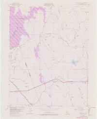
1953 Map of Clarksville
USGS Topo · Published 1976About this map
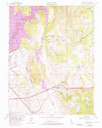
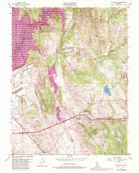
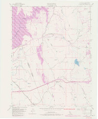
The South Fork American River corridor and the rising waters of Folsom Lake dominate this mid-century landscape on the border of El Dorado and Sacramento counties. The 1953 survey, later updated with 1973 revisions, documents a region defined by hydraulic history and gold-era transitions. Evidence of industrial work remains in the form of a dredge near Blue Ravine and several tailings piles, while the Mormon Island Dam marks the engineered change to the valley's drainage. Further south, the Southern Pacific railroad passes through White Rock, and the small settlement of Clarksville sits at the junction of local creeks and roads. Local education and infrastructure are noted at the Live Oak Sch (Aban'd) and the siphon and ditch systems that once moved water across these foothills toward the valley below.
Find a feature on this map
39 named features on this map. Tap any name to fly to it.
Don’t see what you’re looking for? This feature index may not catch every label — zoom into the map to look around manually.
Map Details
Editions of this 1953 Clarksville Map
7 editions found
Other maps of this area

1891 · Sacramento
USGS Topo · 1:125,000

1891 · Placerville
USGS Topo · 1:125,000

1892 · Sacramento
USGS Topo · 1:125,000

1892 · Placerville
USGS Topo · 1:125,000

1893 · Placerville
USGS Topo · 1:125,000

1893 · Sacramento
USGS Topo · 1:125,000

1908 · Buffalo Creek
USGS Topo · 1:31,680

1914 · Folsom
USGS Topo · 1:31,680
1916 · Buffalo Creek
USGS Topo · 1:31,680

1941 · Folsom
USGS Topo · 1:62,500
Featured Places
- Folsom, CA
- El Dorado Hills, CA
- Cambridge Oaks, CA
- Marble Mountain, El Dorado Hills
- Green Springs Valley, El Dorado Hills