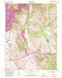
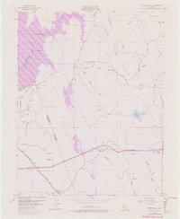
1953 Map of Clarksville
USGS Topo · Published 1980About this map
Clarksville sits at the heart of this landscape, positioned along the historic transport corridor of the Southern Pacific railroad and major roadways leading into the Sierra foothills. The 1953 topography, updated with late 1970s revisions, shows a region transitioning from its mining and ranching roots toward early suburban expansion. Significant water infrastructure, including the Natomas Ditch and Spargur Ditch, illustrates the complex engineering required to move water through the dry ravines like Blue Ravine and Dutch Ravine.
Find a feature on this map
31 named features on this map. Tap any name to fly to it.
Don’t see what you’re looking for? This feature index may not catch every label — zoom into the map to look around manually.
Map Details
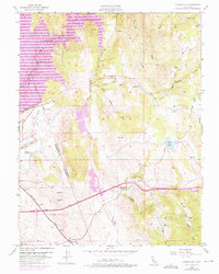
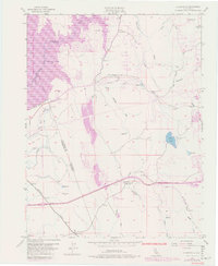
Editions of this 1953 Clarksville Map
7 editions found
Other maps of this area

1891 · Sacramento
USGS Topo · 1:125,000

1891 · Placerville
USGS Topo · 1:125,000

1892 · Sacramento
USGS Topo · 1:125,000

1892 · Placerville
USGS Topo · 1:125,000

1893 · Placerville
USGS Topo · 1:125,000

1893 · Sacramento
USGS Topo · 1:125,000

1908 · Buffalo Creek
USGS Topo · 1:31,680

1914 · Folsom
USGS Topo · 1:31,680
1916 · Buffalo Creek
USGS Topo · 1:31,680

1941 · Folsom
USGS Topo · 1:62,500
Featured Places
- Folsom, CA
- El Dorado Hills, CA
- Cambridge Oaks, CA
- Marble Mountain, El Dorado Hills
- Green Springs Valley, El Dorado Hills