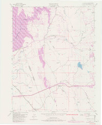
1953 Map of Clarksville
USGS Topo · Published 1980About this map
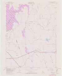
The South Fork American River corridor and the expansive Folsom Lake dominate this landscape during a period of transition for El Dorado and Sacramento counties. The map captures the interface between old-world agriculture and emerging development, highlighted by the abandoned Live Oak Sch (Aban'd) and the historic settlement of Clarksville. To the southwest, the industrial legacy of the region is visible through Dredge Tailings along Willow Cr and a Quarry near Marble Valley Creek.
Find a feature on this map
33 named features on this map. Tap any name to fly to it.
Don’t see what you’re looking for? This feature index may not catch every label — zoom into the map to look around manually.
Map Details
Editions of this 1953 Clarksville Map
7 editions found
Other maps of this area

1891 · Sacramento
USGS Topo · 1:125,000

1891 · Placerville
USGS Topo · 1:125,000

1892 · Sacramento
USGS Topo · 1:125,000

1892 · Placerville
USGS Topo · 1:125,000

1893 · Placerville
USGS Topo · 1:125,000

1893 · Sacramento
USGS Topo · 1:125,000

1908 · Buffalo Creek
USGS Topo · 1:31,680

1914 · Folsom
USGS Topo · 1:31,680
1916 · Buffalo Creek
USGS Topo · 1:31,680

1941 · Folsom
USGS Topo · 1:62,500
Featured Places
- Folsom, CA
- El Dorado Hills, CA
- Cambridge Oaks, CA
- Marble Mountain, El Dorado Hills
- Green Springs Valley, El Dorado Hills