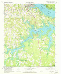
1968 Map of Clarksville South
USGS Topo · Published 1972About this map
Clarksville and its southern environs sit at a historic crossroads where the Southern railroad and the Norfolk Franklin And Danville line once converged near the banks of the John H Kerr Reservoir. This late-1960s landscape is defined by the expansive reach of the reservoir, which straddles the Virginia North Carolina state line, creating a complex shoreline of inlets and creeks like Grassy Creek and Spewmarrow Creek.
Find a feature on this map
45 named features on this map. Tap any name to fly to it.
Don’t see what you’re looking for? This feature index may not catch every label — zoom into the map to look around manually.
Map Details
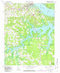
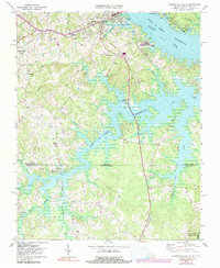
Editions of this 1968 Clarksville South Map
3 editions found
Other maps of this area

1941 · Clarksville
USGS Topo · 1:48,000

1943 · Clarksville
USGS Topo · 1:62,500

1953 · Oxford
USGS Topo · 1:62,500

1953 · Greensboro
USGS Topo · 1:250,000

1954 · Greensboro
USGS Topo · 1:250,000

1955 · Boydton
USGS Topo · 1:62,500

1957 · Clarksville
USGS Topo · 1:62,500

1962 · Greensboro
USGS Topo · 1:250,000

1966 · Greensboro
USGS Topo · 1:250,000

1966 · Oxford
USGS Topo · 1:62,500