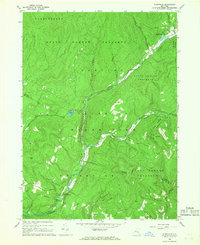
1966 Map of Claryville
USGS Topo · Published 1968About this map
Claryville sits at the heart of this mid-century survey, positioned where the West Branch Neversink River and East Branch Neversink River converge. The landscape is defined by the strict conservation boundaries of Catskill State Park and the Hardenbergh State Forest Preserve, illustrating the region's long-standing transition from industrial timbering to protected recreation. Higher elevations like Blue Hill and Denman Mountain surround the river valleys, where small settlements like Frost Valley and Ladleton represent the pockets of development within the mountainous terrain.
Find a feature on this map
31 named features on this map. Tap any name to fly to it.
Don’t see what you’re looking for? This feature index may not catch every label — zoom into the map to look around manually.
Map Details
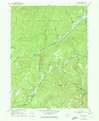
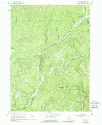
Editions of this 1966 Claryville Map
Other maps of this area

1900 · Phoenicia
USGS Topo · 1:62,500

1901 · Margaretville
USGS Topo · 1:62,500

1903 · Phoenicia
USGS Topo · 1:62,500

1903 · Slide Mountain
USGS Topo · 1:62,500

1904 · Margaretville
USGS Topo · 1:62,500

1905 · Slide Mountain
USGS Topo · 1:62,500

1910 · Neversink
USGS Topo · 1:62,500

1942 · Neversink
USGS Topo · 1:62,500

1942 · Lackawack
USGS Topo · 1:24,000

1943 · Peekamoose Mountain
USGS Topo · 1:31,680