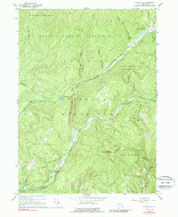
1966 Map of Claryville
USGS Topo · Published 1988About this map
Claryville and the high peaks of the Catskills define this mid-1960s landscape, where the confluence of the West Branch Neversink River and the East Branch Neversink River shapes the local valley. This terrain is dominated by the Catskill State Park and the Hardenbergh State Forest Preserve, illustrating the transition from wilderness to isolated mountain settlements. Engineering for water management is evident in the presence of an Aqueduct and a Gaging Sta along the riverbanks. Small mountain communities like Ladleton and Frost Valley are connected by winding roads through the timber, while landmarks such as the Covered Bridge and the Lookout Tower on Red Hill highlight the historical and utilitarian character of this portion of Ulster and Sullivan counties.
Find a feature on this map
31 named features on this map. Tap any name to fly to it.
Don’t see what you’re looking for? This feature index may not catch every label — zoom into the map to look around manually.
Map Details
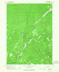
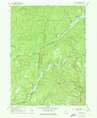
Editions of this 1966 Claryville Map
Other maps of this area

1900 · Phoenicia
USGS Topo · 1:62,500

1901 · Margaretville
USGS Topo · 1:62,500

1903 · Phoenicia
USGS Topo · 1:62,500

1903 · Slide Mountain
USGS Topo · 1:62,500

1904 · Margaretville
USGS Topo · 1:62,500

1905 · Slide Mountain
USGS Topo · 1:62,500

1910 · Neversink
USGS Topo · 1:62,500

1942 · Neversink
USGS Topo · 1:62,500

1942 · Lackawack
USGS Topo · 1:24,000

1943 · Peekamoose Mountain
USGS Topo · 1:31,680