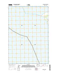
2014 Map of Clatsop Spit
USGS Topo · Published 2014About this map
Clatsop Spit defines this maritime landscape where the Columbia River meets the Pacific Ocean. This coastal boundary map highlights the dynamic interface between the river's mouth and the open sea, marked by the shifting sands of the spit and the protective waters of Jetty Lagoon. Navigation and coastal infrastructure are central to this area, indicated by the Entrance Range and the proximity of the Lower Desdemona Shoal. The land remains largely dominated by its geographic position at the northwestern tip of Clatsop County, with Jetty Rd providing the primary land-based access to this exposed coastal reach.
Find a feature on this map
9 named features on this map. Tap any name to fly to it.
Don’t see what you’re looking for? This feature index may not catch every label — zoom into the map to look around manually.
Map Details
Editions of this 2014 Clatsop Spit Map
This is the sole edition of this map. No revisions or reprints were ever made.
Other maps of this area

1919 · Astoria
USGS Topo · 1:62,500

1938 · Cape Disappointment
USGS Topo · 1:62,500

1938 · Fort Columbia
USGS Topo · 1:62,500

1939 · Astoria
USGS Topo · 1:62,500

1943 · Fort Columbia
USGS Topo · 1:62,500

1943 · Copalis Beach
USGS Topo · 1:250,000

1949 · Chinook
USGS Topo · 1:24,000

1949 · Gearhart
USGS Topo · 1:24,000
1949 · Cape Disappointment
USGS Topo · 1:24,000

1951 · Copalis Beach
USGS Topo · 1:250,000