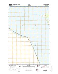
2017 Map of Clatsop Spit
USGS Topo · Published 2017About this map
Clatsop Spit dominates this coastal landscape where the Columbia River meets the Pacific Ocean. This 2017 survey highlights the dynamic environment of the Oregon coastline, showing the reach of the Entrance Range and the submerged hazards of Lower Desdemona Shoal. The map details the transition from the sandy expanse of the spit to the protected waters of Jetty Lagoon, accessed by the simple path of Jetty Rd. This area is defined by the shifting boundaries between sea and shore, where the coastal edge of Clatsop County faces the open ocean. It serves as a clear record of the navigational features and littoral landforms at the mouth of the Columbia just before the turn of the decade.
Find a feature on this map
9 named features on this map. Tap any name to fly to it.
Don’t see what you’re looking for? This feature index may not catch every label — zoom into the map to look around manually.
Map Details
Editions of this 2017 Clatsop Spit Map
This is the sole edition of this map. No revisions or reprints were ever made.
Other maps of this area

1919 · Astoria
USGS Topo · 1:62,500

1938 · Cape Disappointment
USGS Topo · 1:62,500

1938 · Fort Columbia
USGS Topo · 1:62,500

1939 · Astoria
USGS Topo · 1:62,500

1943 · Fort Columbia
USGS Topo · 1:62,500

1943 · Copalis Beach
USGS Topo · 1:250,000

1949 · Chinook
USGS Topo · 1:24,000

1949 · Gearhart
USGS Topo · 1:24,000
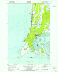
1949 · Cape Disappointment
USGS Topo · 1:24,000

1951 · Copalis Beach
USGS Topo · 1:250,000