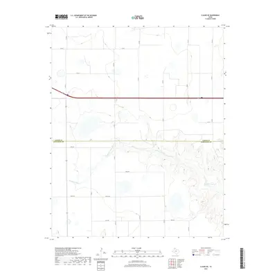
2019 Map of Claude NE
USGS Topo · Published 2019About this map
Salt Fork Red River carves a deep, intricate drainage system across the southern half of this landscape, marking a sharp contrast to the flat high plains of the Panhandle to the north. Located along the boundary between Carson and Armstrong Counties, the terrain transitions from level agricultural fields and grazing land into the rugged draws and canyons of the Red River watershed. The northern section is defined by a strictly organized grid of rural routes, including Co Rd 4 and Co Rd 3, which facilitate access to the isolated farmsteads of the region. Moving south, the road network adopts a phonetic naming convention with Alpha Rd, Bravo Rd, and Charlie Rd providing access to the rim of the breaks. This 2019 survey documents the enduring ranching and farming character of the High Plains, where the drainage of the Salt Fork remains the dominant geographical feature.
Find a feature on this map
20 named features on this map. Tap any name to fly to it.
Don’t see what you’re looking for? This feature index may not catch every label — zoom into the map to look around manually.
Map Details
Editions of this 2019 Claude NE Map
This is the sole edition of this map. No revisions or reprints were ever made.
Other maps of this area

1954 · Amarillo
USGS Topo · 1:250,000

1958 · Amarillo
USGS Topo · 1:250,000

1960 · Claude
USGS Topo · 1:62,500

1960 · Groom
USGS Topo · 1:62,500

1966 · Panhandle West
USGS Topo · 1:24,000

1966 · Panhandle East
USGS Topo · 1:24,000

1966 · White Deer SW
USGS Topo · 1:24,000
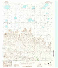
1983 · Lark
USGS Topo · 1:24,000
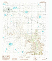
1983 · Claude
USGS Topo · 1:24,000
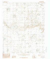
1983 · Claude SW
USGS Topo · 1:24,000