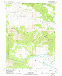
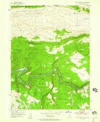
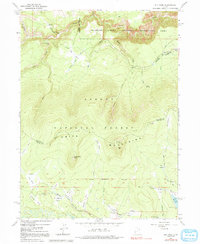
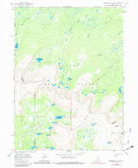
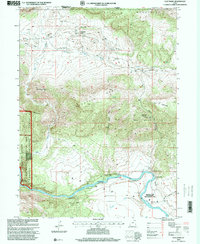
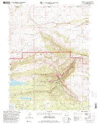
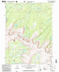
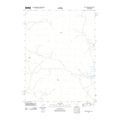
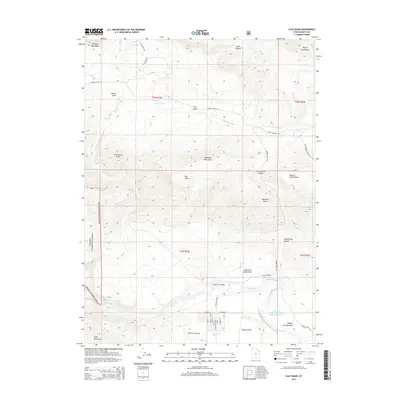
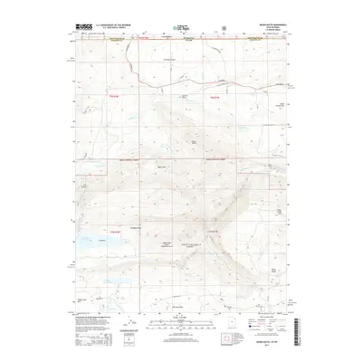
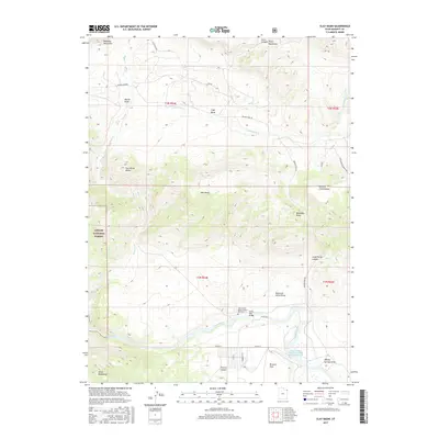
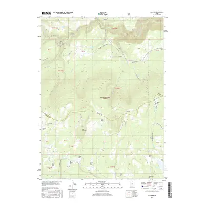
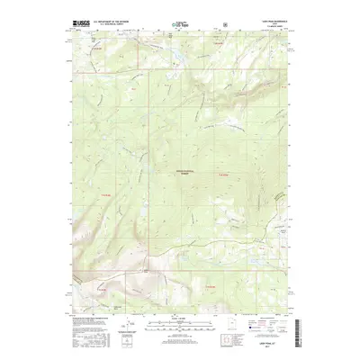
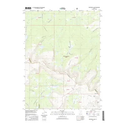
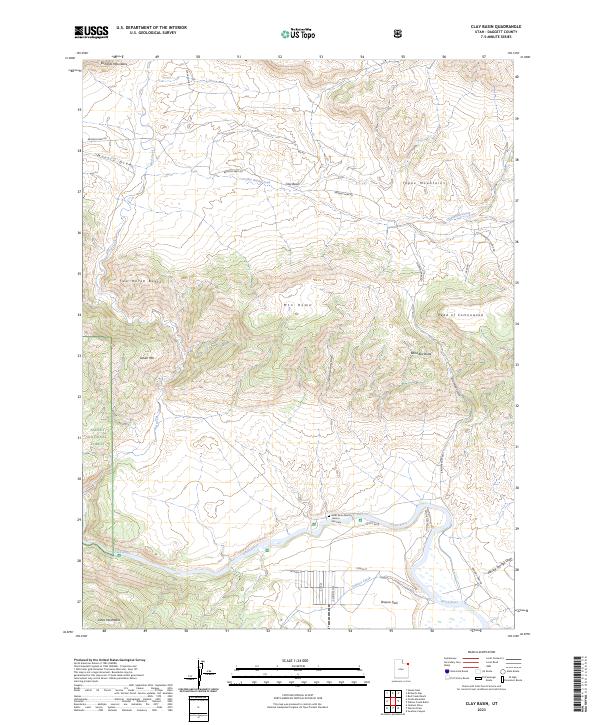
1952 Map of Clay Basin
USGS Topo · Published 1980About this map
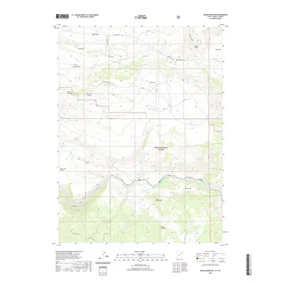
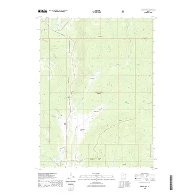
Industrial activity and topographical extremes define this landscape along the border of Utah and Wyoming. Clay Basin is punctuated by numerous gas wells and the concentrated Clay Basin Camp, illustrating the mid-century energy development in this corner of Daggett County. To the south, the terrain descends from the high ridges of Home Mountain and Goslin Mtn into the broad valley of Browns Park, where the Green River carves a sweeping arc.
Find a feature on this map
27 named features on this map. Tap any name to fly to it.
Don’t see what you’re looking for? This feature index may not catch every label — zoom into the map to look around manually.
Map Details
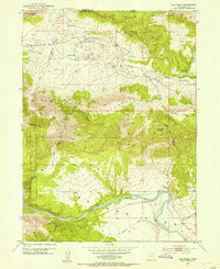
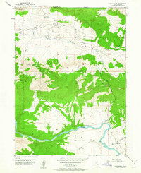
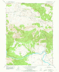
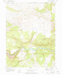
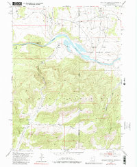
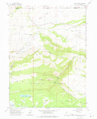
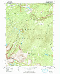
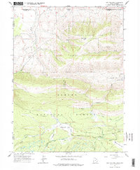
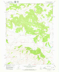
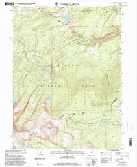
Editions of this 1952 Clay Basin Map
4 editions found
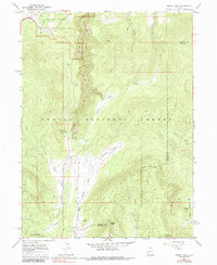
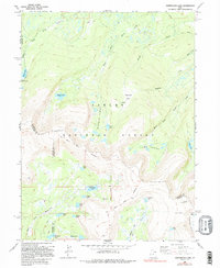
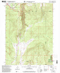
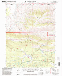
Historical Maps of Browns Park Through Time
77 maps found
1952 Clay Basin
Daggett County, UT
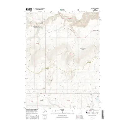
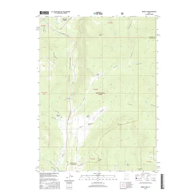
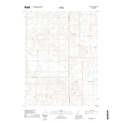
1952 Dutch John Mtn
Daggett County, UT
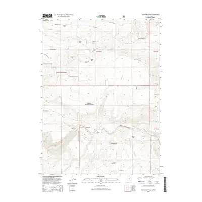
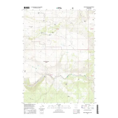
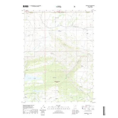
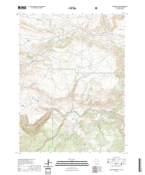
1952 Goslin Mtn
Daggett County, UT
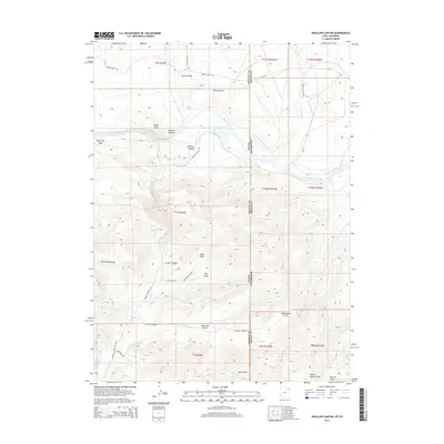
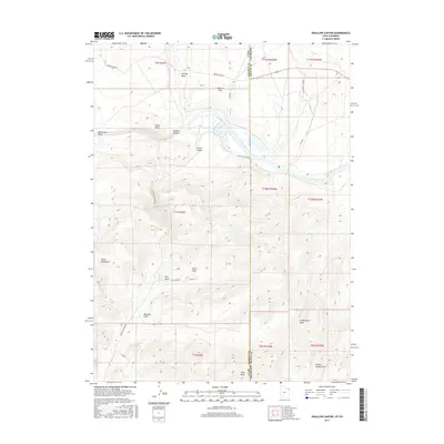
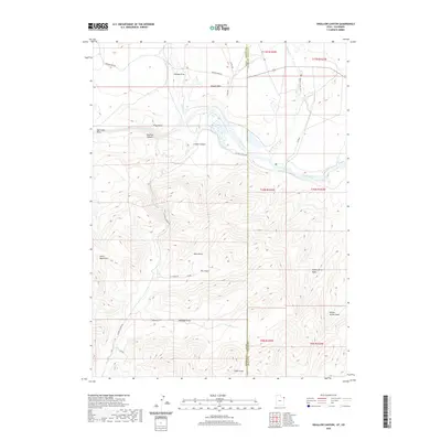
1952 Swallow Canyon
Daggett County, UT
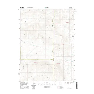
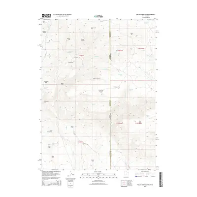
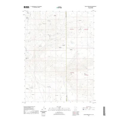
1952 Willow Creek Butte
Daggett County, UT
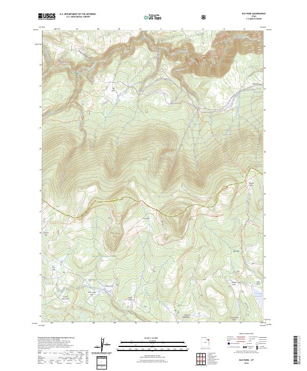
1963 Elk Park
Daggett County, UT
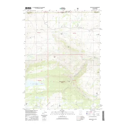
1963 Jessen Butte
Daggett County, UT
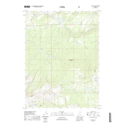
1963 Leidy Peak
Daggett County, UT
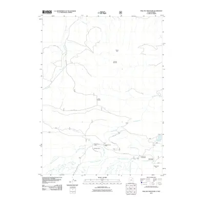
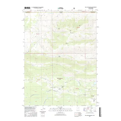
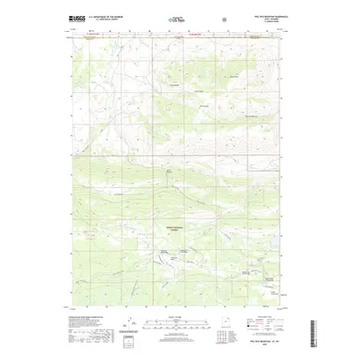
1963 Phil Pico Mtn
Daggett County, UT
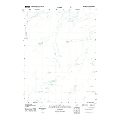
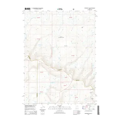
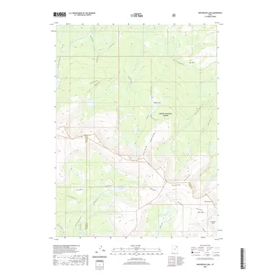
1963 Whiterocks Lake
Daggett County, UT
1967 Hoy Mountain
Daggett County, UT
1967 Mount Lena
Daggett County, UT
1990 Whiterocks Lake
Daggett County, UT
1996 Clay Basin
Daggett County, UT
1996 Elk Park
Daggett County, UT
1996 Flaming George
Daggett County, UT
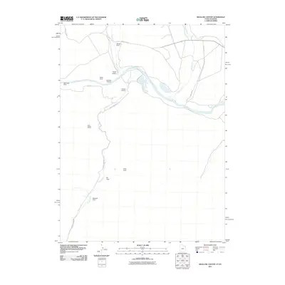
1996 Goslin Mountain
Daggett County, UT
1996 Jessen Butte
Daggett County, UT
1996 Leidy Peak
Daggett County, UT
1996 Mount Lena
Daggett County, UT
1996 Phil Pico Mountain
Daggett County, UT
1996 Whiterocks Lake
Daggett County, UT
2011 Clay Basin
Daggett County, UT
2011 Elk Park
Daggett County, UT
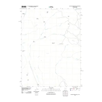
2011 Goslin Mountain
Daggett County, UT
2011 Hoy Mountain
Daggett County, UT
2011 Jessen Butte
Daggett County, UT
2011 Leidy Peak
Daggett County, UT
2011 Mount Lena
Daggett County, UT
2011 Phil Pico Mountain
Daggett County, UT
2011 Swallow Canyon
Daggett County, UT
2011 Whiterocks Lake
Daggett County, UT
2011 Willow Creek Butte
Daggett County, UT
2014 Clay Basin
Daggett County, UT
2014 Elk Park
Daggett County, UT
2014 Goslin Mountain
Daggett County, UT
2014 Hoy Mountain
Daggett County, UT
2014 Jessen Butte
Daggett County, UT
2014 Leidy Peak
Daggett County, UT
2014 Mount Lena
Daggett County, UT
2014 Phil Pico Mountain
Daggett County, UT
2014 Swallow Canyon
Daggett County, UT
2014 Whiterocks Lake
Daggett County, UT
2014 Willow Creek Butte
Daggett County, UT
2017 Clay Basin
Daggett County, UT
2017 Elk Park
Daggett County, UT
2017 Goslin Mountain
Daggett County, UT
2017 Hoy Mountain
Daggett County, UT
2017 Jessen Butte
Daggett County, UT
2017 Leidy Peak
Daggett County, UT
2017 Mount Lena
Daggett County, UT
2017 Phil Pico Mountain
Daggett County, UT
2017 Swallow Canyon
Daggett County, UT
2017 Whiterocks Lake
Daggett County, UT
2017 Willow Creek Butte
Daggett County, UT
2020 Clay Basin
Daggett County, UT
2020 Elk Park
Daggett County, UT
2020 Goslin Mountain
Daggett County, UT
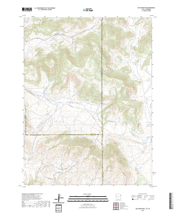
2020 Hoy Mountain
Daggett County, UT
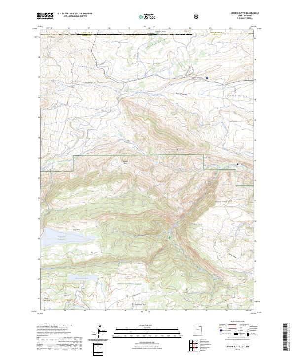
2020 Jessen Butte
Daggett County, UT
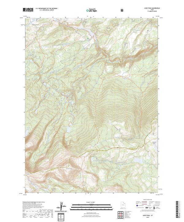
2020 Leidy Peak
Daggett County, UT
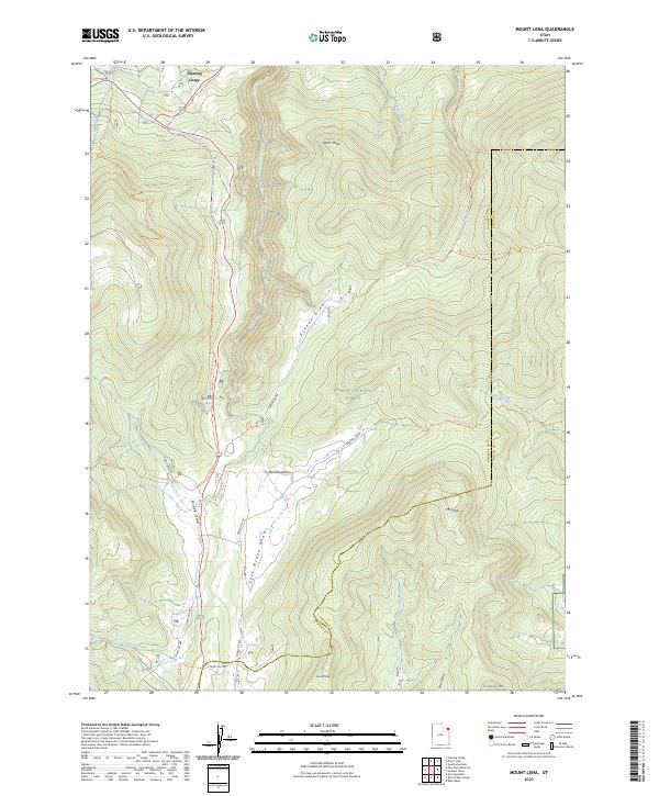
2020 Mount Lena
Daggett County, UT
2020 Phil Pico Mountain
Daggett County, UT
2020 Swallow Canyon
Daggett County, UT
2020 Whiterocks Lake
Daggett County, UT
2020 Willow Creek Butte
Daggett County, UT
2023 Clay Basin
Daggett County, UT
2023 Elk Park
Daggett County, UT
2023 Goslin Mountain
Daggett County, UT
2023 Hoy Mountain
Daggett County, UT
2023 Jessen Butte
Daggett County, UT
2023 Leidy Peak
Daggett County, UT
2023 Mount Lena
Daggett County, UT
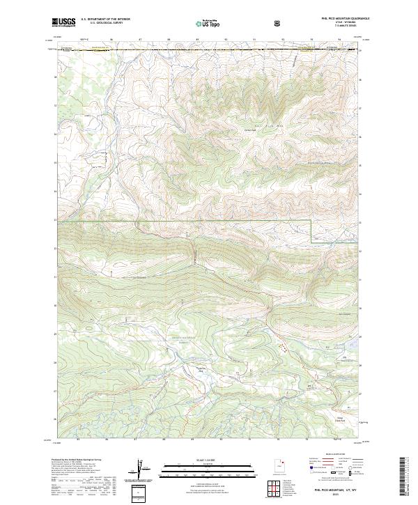
2023 Phil Pico Mountain
Daggett County, UT
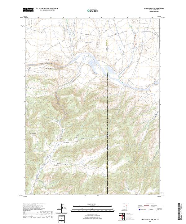
2023 Swallow Canyon
Daggett County, UT
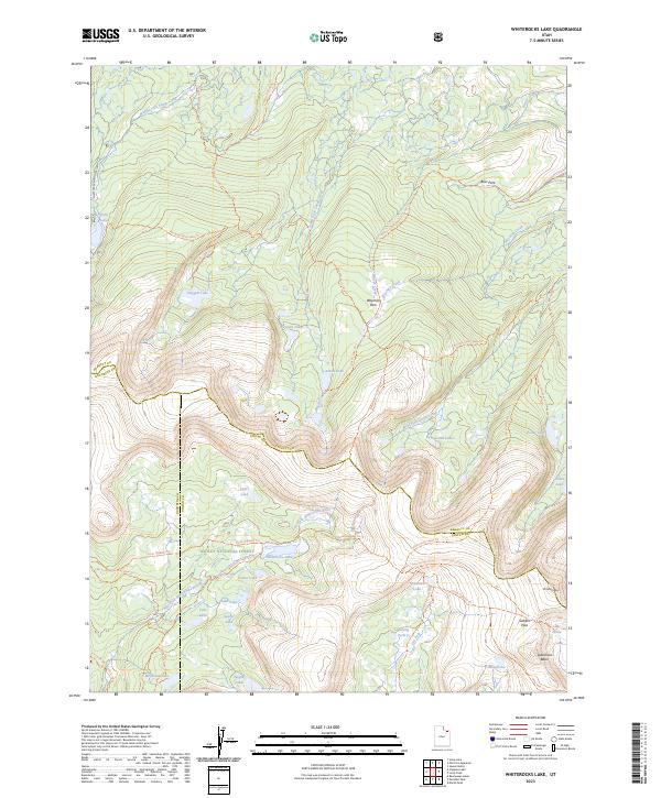
2023 Whiterocks Lake
Daggett County, UT
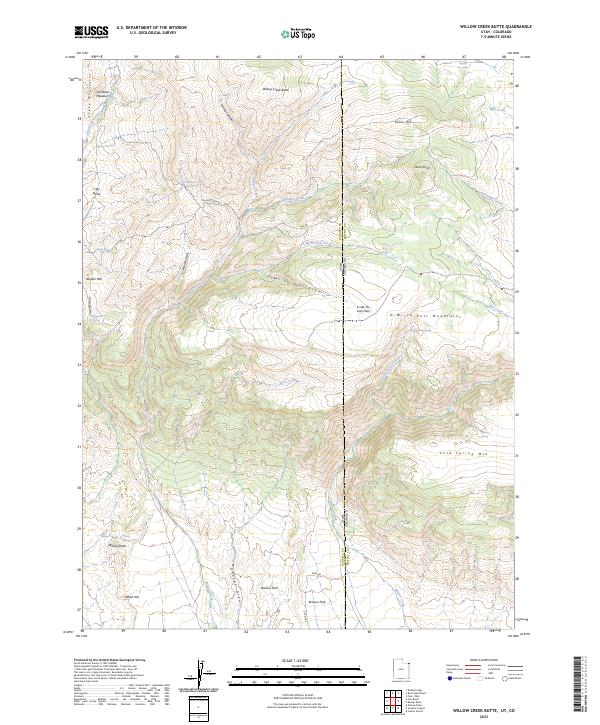
2023 Willow Creek Butte
Daggett County, UT