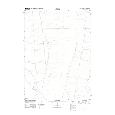
2012 Map of Clay Buttes SE
USGS Topo · Published 2012About this map
Alkali Cr and Killpecker Cr define the drainage patterns of this high desert terrain in Sweetwater County, where the landscape is marked by intermittent watercourses and expansive open land. The 2012 survey illustrates a network of transit routes through the basin, including the Chiltons Cutoff and 14 Mile Rd, which provide access across the arid plains. To the southeast, Fourteenmile Cr flows near the transition to Long Canyon, showing the geographic relief that characterizes this part of Wyoming. This map serves as a contemporary record of the area's infrastructure, capturing the established trackways and hydrographic features that remain vital for navigation and land management in this sparsely populated region.
Find a feature on this map
6 named features on this map. Tap any name to fly to it.
Don’t see what you’re looking for? This feature index may not catch every label — zoom into the map to look around manually.
Map Details
Editions of this 2012 Clay Buttes SE Map
This is the sole edition of this map. No revisions or reprints were ever made.
Other maps of this area

1908 · Rock Springs
USGS Topo · 1:62,500

1910 · Rock Springs
USGS Topo · 1:62,500

1954 · Rock Springs
USGS Topo · 1:250,000

1958 · Rock Springs
USGS Topo · 1:250,000

1958 · Boars Tusk
USGS Topo · 1:62,500

1961 · Scott Spring
USGS Topo · 1:24,000

1961 · Pilot Butte
USGS Topo · 1:24,000

1962 · Rock Springs
USGS Topo · 1:250,000

1968 · Clay Buttes
USGS Topo · 1:24,000

1968 · White Rocks
USGS Topo · 1:24,000