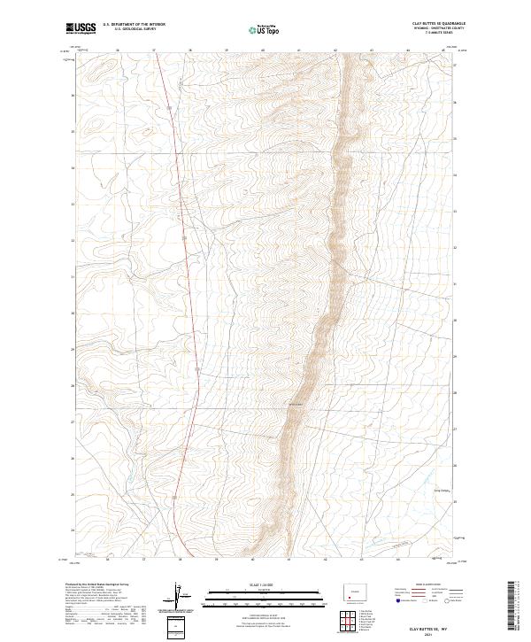
2021 Map of Clay Buttes SE
USGS Topo · Published 2021About this map
White Mtn dominates this high-desert landscape in Sweetwater County, where the terrain is defined by a series of north-south ridges and drainages. The map traces the essential transportation corridors of the region, including the historic route of Old Hwy 191 and the strategic Chiltons Cutoff to the south. Water is a defining yet intermittent presence here, marked by the courses of Alkali Cr, Fourteenmile Cr, and Killpecker Cr. These drainage patterns, such as the descent through Long Canyon, illustrate the erosional forces shaping this part of the Red Desert. This 2021 update by the U.S. Geological Survey provides a detailed view of the Public Land Survey System grid across Townships 21 and 22 North, reflecting the modern administrative and geophysical reality of this Wyoming backcountry.
Find a feature on this map
12 named features on this map. Tap any name to fly to it.
Don’t see what you’re looking for? This feature index may not catch every label — zoom into the map to look around manually.
Map Details
Editions of this 2021 Clay Buttes SE Map
This is the sole edition of this map. No revisions or reprints were ever made.
Other maps of this area

1908 · Rock Springs
USGS Topo · 1:62,500

1910 · Rock Springs
USGS Topo · 1:62,500

1954 · Rock Springs
USGS Topo · 1:250,000

1958 · Rock Springs
USGS Topo · 1:250,000

1958 · Boars Tusk
USGS Topo · 1:62,500

1961 · Scott Spring
USGS Topo · 1:24,000

1961 · Pilot Butte
USGS Topo · 1:24,000

1962 · Rock Springs
USGS Topo · 1:250,000

1968 · Clay Buttes
USGS Topo · 1:24,000

1968 · White Rocks
USGS Topo · 1:24,000