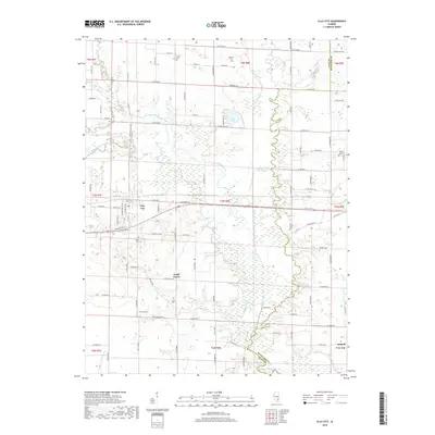
2018 Map of Clay City
USGS Topo · Published 2018About this map
The Little Wabash River meanders across the southern landscape of this Illinois quadrangle, shaping a low-lying basin characterized by complex drainage and numerous wetlands. The village of Clay City serves as the primary hub, situated near the intersection of various county roads and just north of its namesake Clay City Cem. The surrounding rural territory is marked by several small family and community burial grounds, including Travis Cem, Smith Cem, and Leonard Cem, which reflect the area's ancestral roots and scattered farmstead development.
Find a feature on this map
93 named features on this map. Tap any name to fly to it.
Don’t see what you’re looking for? This feature index may not catch every label — zoom into the map to look around manually.
Map Details
Editions of this 2018 Clay City Map
This is the sole edition of this map. No revisions or reprints were ever made.
Other maps of this area

1941 · Newton
USGS Topo · 1:62,500

1943 · Newton
USGS Topo · 1:62,500

1948 · Flora
USGS Topo · 1:62,500

1949 · Olney
USGS Topo · 1:62,500

1949 · Flora
USGS Topo · 1:62,500

1953 · Sailor Springs
USGS Topo · 1:62,500

1958 · Belleville
USGS Topo · 1:250,000

1962 · Belleville
USGS Topo · 1:250,000

1970 · Clay City
USGS Topo · 1:24,000

1970 · Enterprise
USGS Topo · 1:24,000