2024 Map of Clay City
USGS Topo · Published 2024About this map
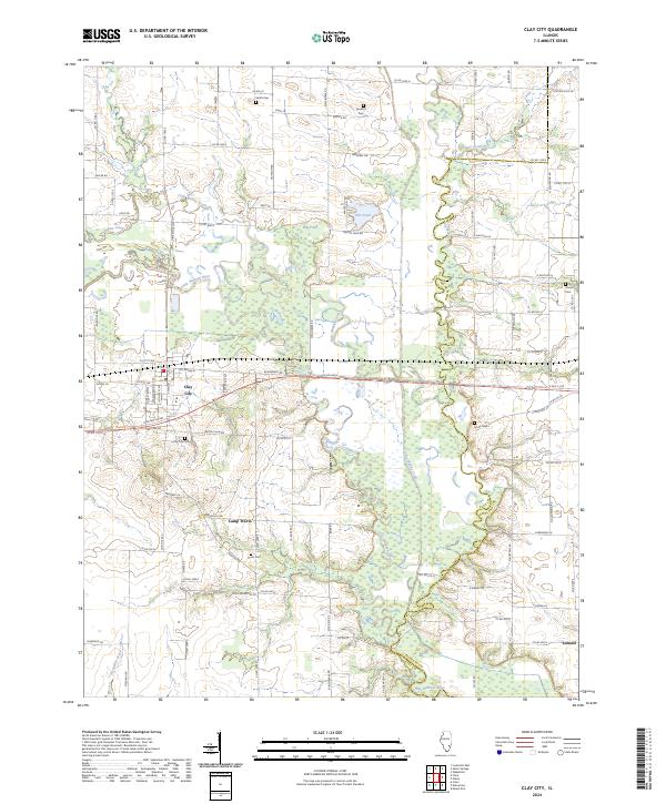
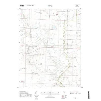
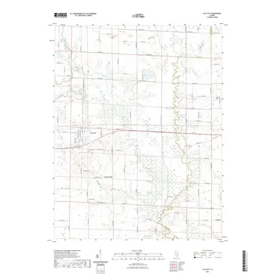
Clay City serves as the primary hub of this landscape where the Little Wabash River winds through the southeastern Illinois plains. The river's meandering course is supplemented by several substantial water bodies including Flag Pond and Salt Pond, creating a complex riparian network across the Clay Co Richland Co border. Small rural settlements like Camp Travis and Schnell punctuate the grid-based road system, which follows the historic sectional lines typical of the region's agricultural development.
Find a feature on this map
92 named features on this map. Tap any name to fly to it.
Don’t see what you’re looking for? This feature index may not catch every label — zoom into the map to look around manually.
Map Details
Editions of this 2024 Clay City Map
This is the sole edition of this map. No revisions or reprints were ever made.
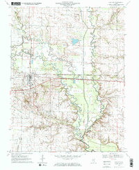
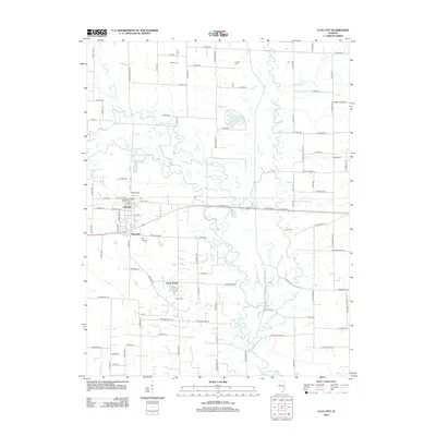
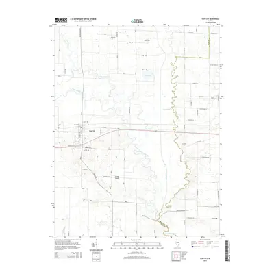
Historical Maps of Clay City Through Time
6 maps found
Featured Locations
- Clay City Township, IL
- Hoosier Township, IL
- Stanford Township, IL
- Clay City, Clay City Township
- Maysville, Clay City