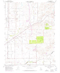
1968 Map of Clay
USGS Topo · Published 1977About this map
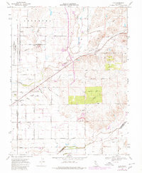
Agricultural development and rural transport networks define this portion of the Central Valley in the late 1960s. The community of Herald serves as a local hub near the Arcohe Union Sch, while the settlement of Clay sits further east along the Southern Pacific railroad line. The landscape is deeply tied to its water management and drainage, with prominent features like Laguna Creek, Dry Creek, and the Cosumnes river crossing the plains. Local education and infrastructure are evidenced by the Colony Sch and the Colony Woods Substation.
Find a feature on this map
49 named features on this map. Tap any name to fly to it.
Don’t see what you’re looking for? This feature index may not catch every label — zoom into the map to look around manually.
Map Details
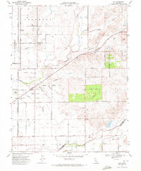
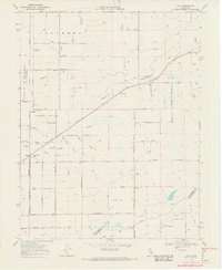
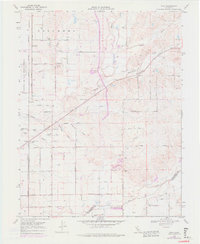
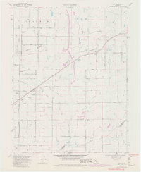
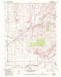
Editions of this 1968 Clay Map
7 editions found
Other maps of this area

1894 · Lodi
USGS Topo · 1:125,000

1908 · Lockeford
USGS Topo · 1:31,680

1909 · Elk Grove
USGS Topo · 1:31,680

1909 · Carbondale
USGS Topo · 1:31,680

1909 · Clay
USGS Topo · 1:31,680

1909 · Cosumnes
USGS Topo · 1:31,680

1909 · Goose Creek
USGS Topo · 1:31,680

1909 · Clements
USGS Topo · 1:31,680

1910 · Woodbridge
USGS Topo · 1:31,680

1910 · Galt
USGS Topo · 1:31,680