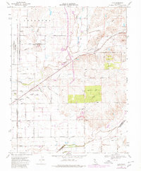
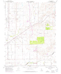
1968 Map of Clay
USGS Topo · Published 1980About this map
The Sanjon De Los Moquelumnes Grant Boundary defines the northern reaches of this rural Sacramento County landscape, where the agricultural flats are divided by an intricate network of drainage ways and seasonal creeks. The small settlement of Clay sits along the Southern Pacific rail line, which cuts diagonally across the terrain toward Hadselville. This 1968 survey (updated in 1980) shows a landscape transitioning between early land grant divisions and mid-century rural development, evidenced by the numerous wells and the irrigation-focused road network including Colony Road and Grant Road.
Find a feature on this map
47 named features on this map. Tap any name to fly to it.
Don’t see what you’re looking for? This feature index may not catch every label — zoom into the map to look around manually.
Map Details
Editions of this 1968 Clay Map
7 editions found
Other maps of this area

1894 · Lodi
USGS Topo · 1:125,000

1908 · Lockeford
USGS Topo · 1:31,680

1909 · Elk Grove
USGS Topo · 1:31,680

1909 · Carbondale
USGS Topo · 1:31,680

1909 · Clay
USGS Topo · 1:31,680

1909 · Cosumnes
USGS Topo · 1:31,680

1909 · Goose Creek
USGS Topo · 1:31,680

1909 · Clements
USGS Topo · 1:31,680

1910 · Woodbridge
USGS Topo · 1:31,680

1910 · Galt
USGS Topo · 1:31,680