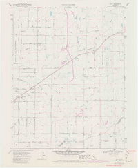
1968 Map of Clay
USGS Topo · Published 1980About this map
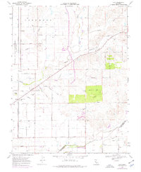
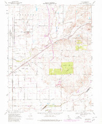
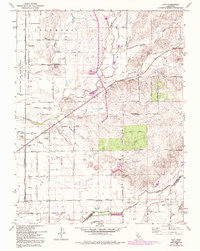
Agricultural patterns and transport networks define this section of the Central Valley where the Sacramento Co San Joaquin Co border bisects the landscape. The Central California Traction and Southern Pacific railroads provide the primary industrial backbone, cutting through a topography marked by seasonal drainages like Skunk Creek, Goose Creek, and Griffith Creek. Settlements such as Herald and Centralia anchor the region, supported by local institutions like Archoe Union Sch and Colony Sch. Evidence of the area's rural development is visible in the network of farm-to-market roads, including Simmerhorn Road and Borden Road, which connect sprawling estates like Bottimore Ranch to the rail corridors. The inclusion of the Sanjon de los Moquelumnes Grant Boundary serves as a reminder of the region's older land grant history amidst mid-century infrastructure like the local Landing Strip.
Find a feature on this map
48 named features on this map. Tap any name to fly to it.
Don’t see what you’re looking for? This feature index may not catch every label — zoom into the map to look around manually.
Map Details
Editions of this 1968 Clay Map
7 editions found
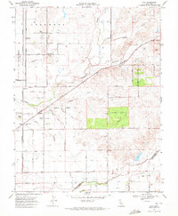
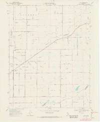
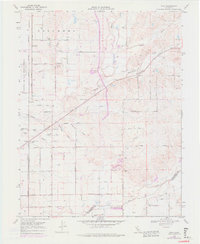
Other maps of this area

1894 · Lodi
USGS Topo · 1:125,000

1908 · Lockeford
USGS Topo · 1:31,680

1909 · Elk Grove
USGS Topo · 1:31,680

1909 · Carbondale
USGS Topo · 1:31,680

1909 · Clay
USGS Topo · 1:31,680

1909 · Cosumnes
USGS Topo · 1:31,680

1909 · Goose Creek
USGS Topo · 1:31,680

1909 · Clements
USGS Topo · 1:31,680

1910 · Woodbridge
USGS Topo · 1:31,680

1910 · Galt
USGS Topo · 1:31,680