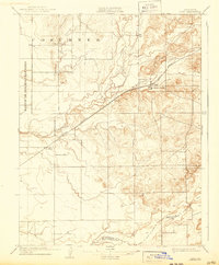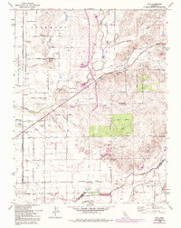
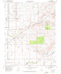
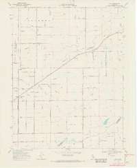
1968 Map of Clay
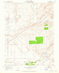
USGS Topo · Published 1993About this map
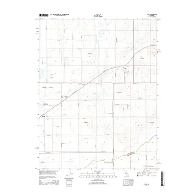
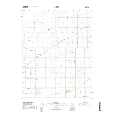
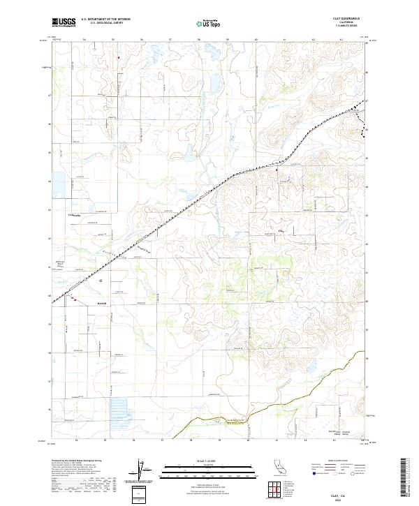
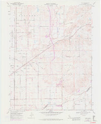
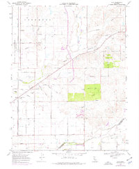
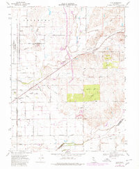
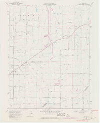
The Sanjon De Los Moquelumnes Grant Boundary cuts across this Sacramento County landscape, reflecting the region's transition from historic Mexican land grants to a systematic grid of agricultural roads and irrigation wells. The Central California Traction railroad runs north-south through settlements like Arno and Centralia, while the Southern Pacific tracks angle through Clay. These rail corridors served the small agricultural communities and rural schools of the late 20th century, including the Arno Union Sch and Colony Sch. Water management is central to this environment, with the Cosumnes River in the north and various drainages like Laguna Creek and Badger Creek defining the terrain. The presence of a Landing Strip and Colony Woods Substation indicates the modern infrastructure supporting this productive farming district.
Find a feature on this map
56 named features on this map. Tap any name to fly to it.
Don’t see what you’re looking for? This feature index may not catch every label — zoom into the map to look around manually.
Map Details
Editions of this 1968 Clay Map
7 editions found
Historical Maps of Clay Through Time
7 maps found